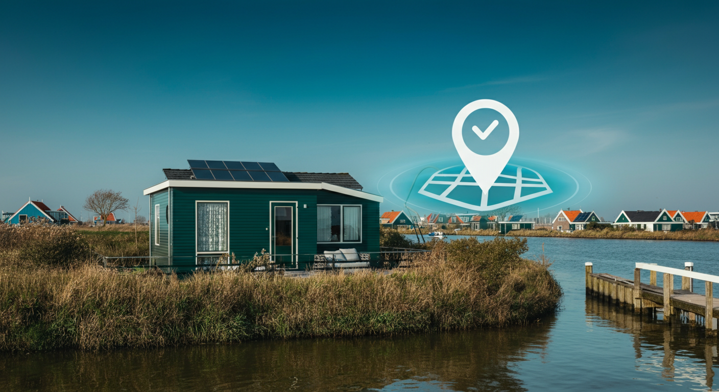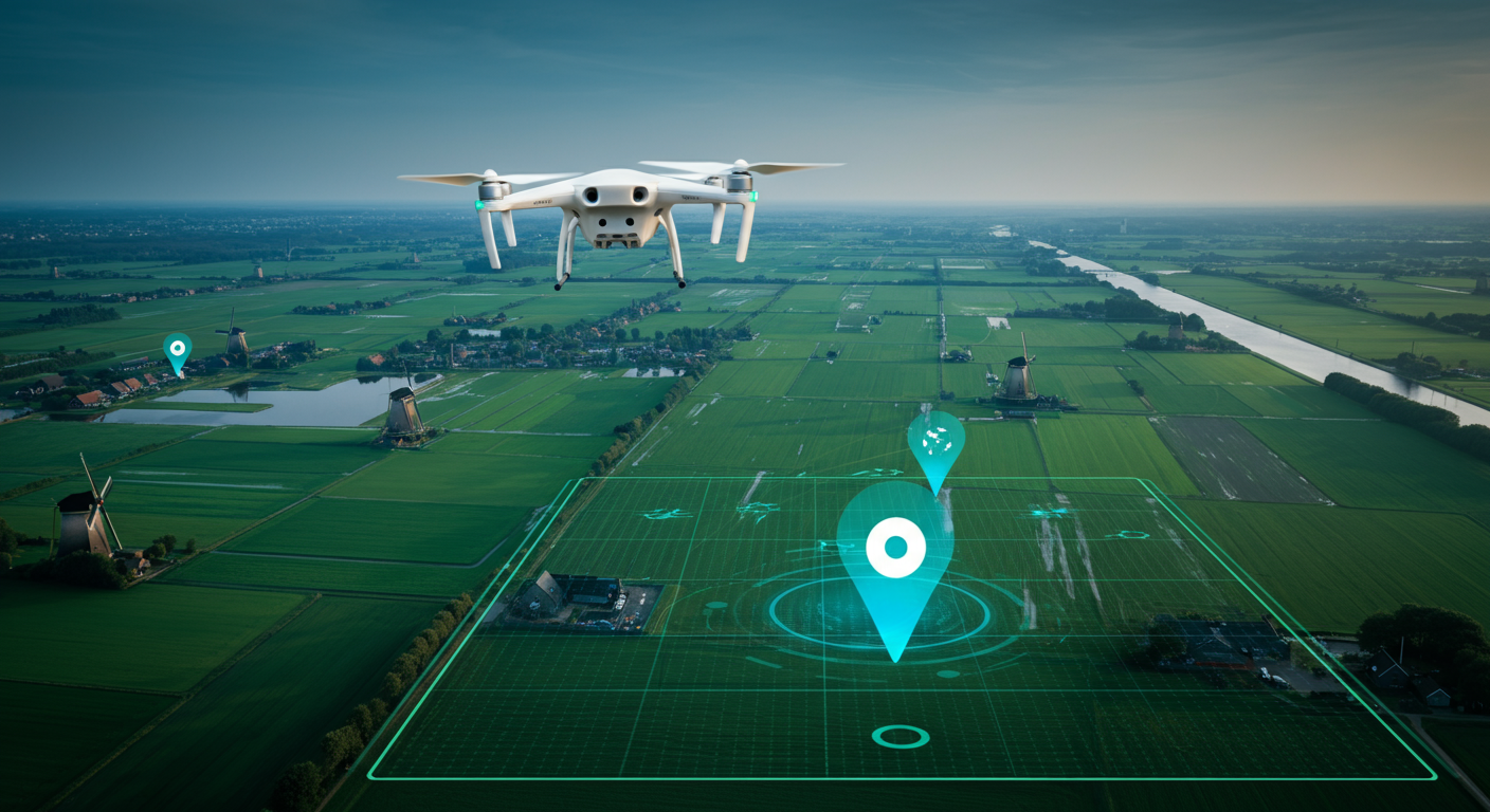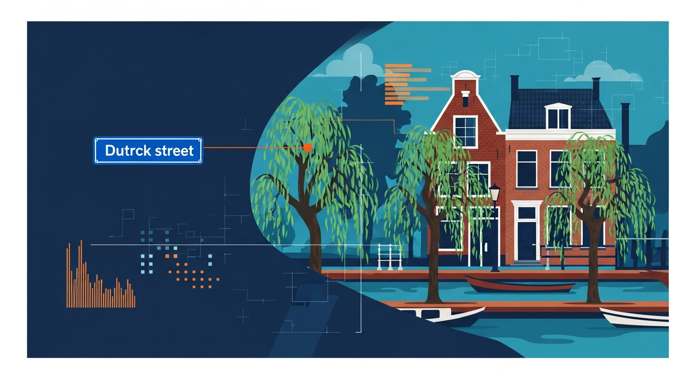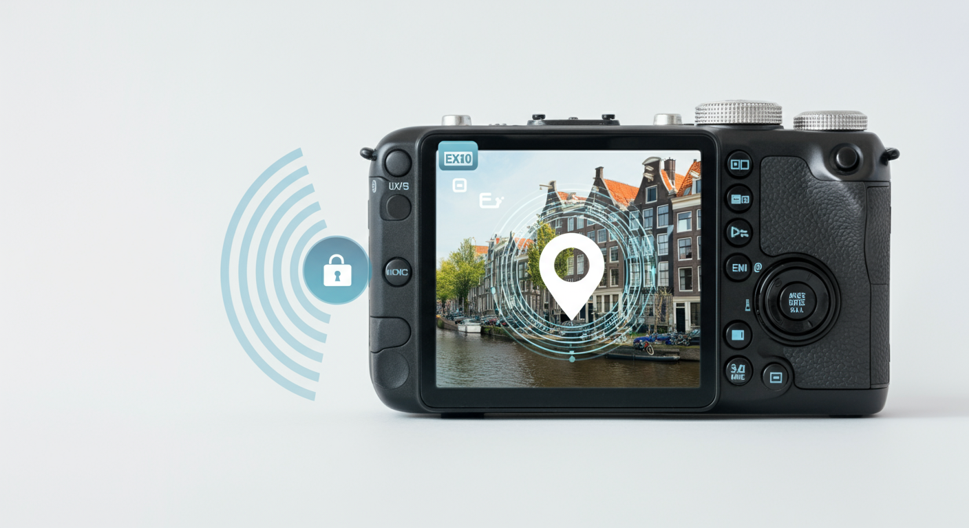
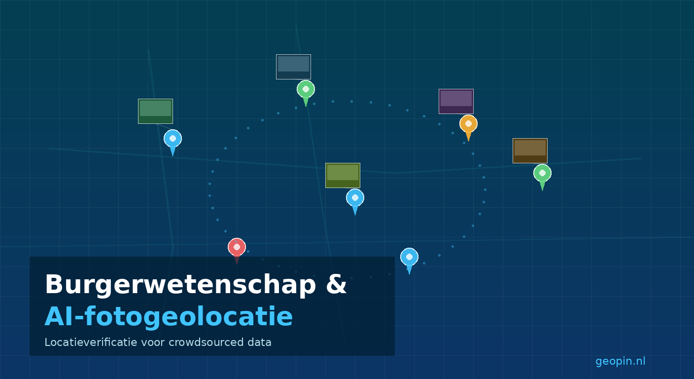
Citizen science and photo geolocation: how AI verifies crowdsourced location data
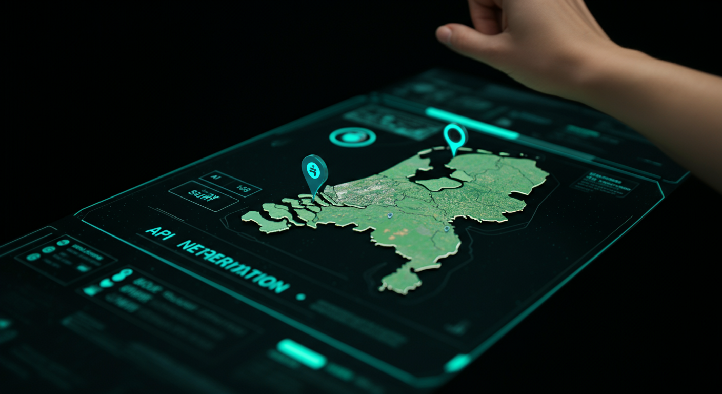
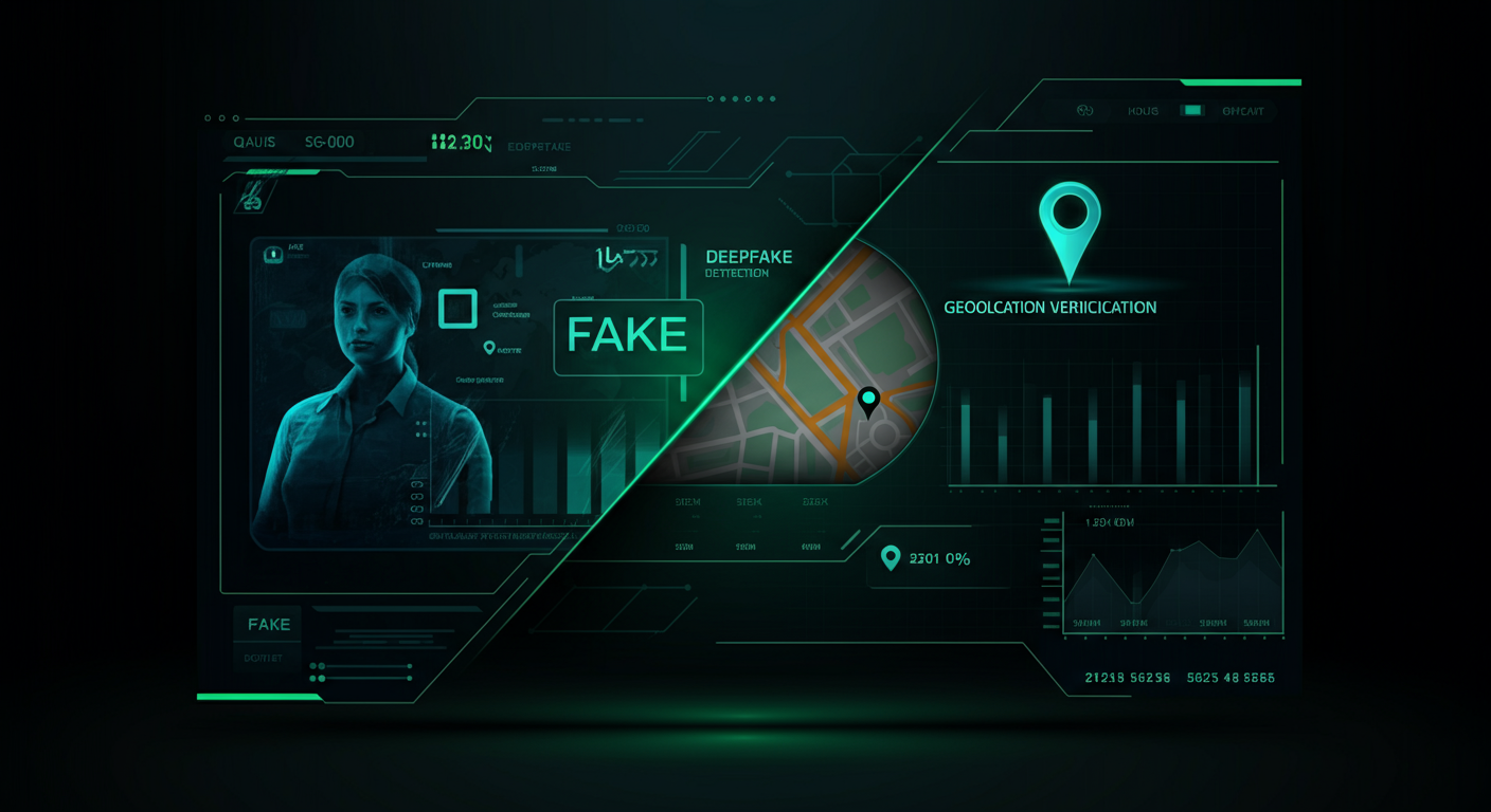
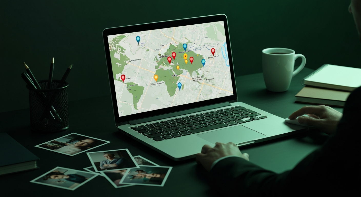
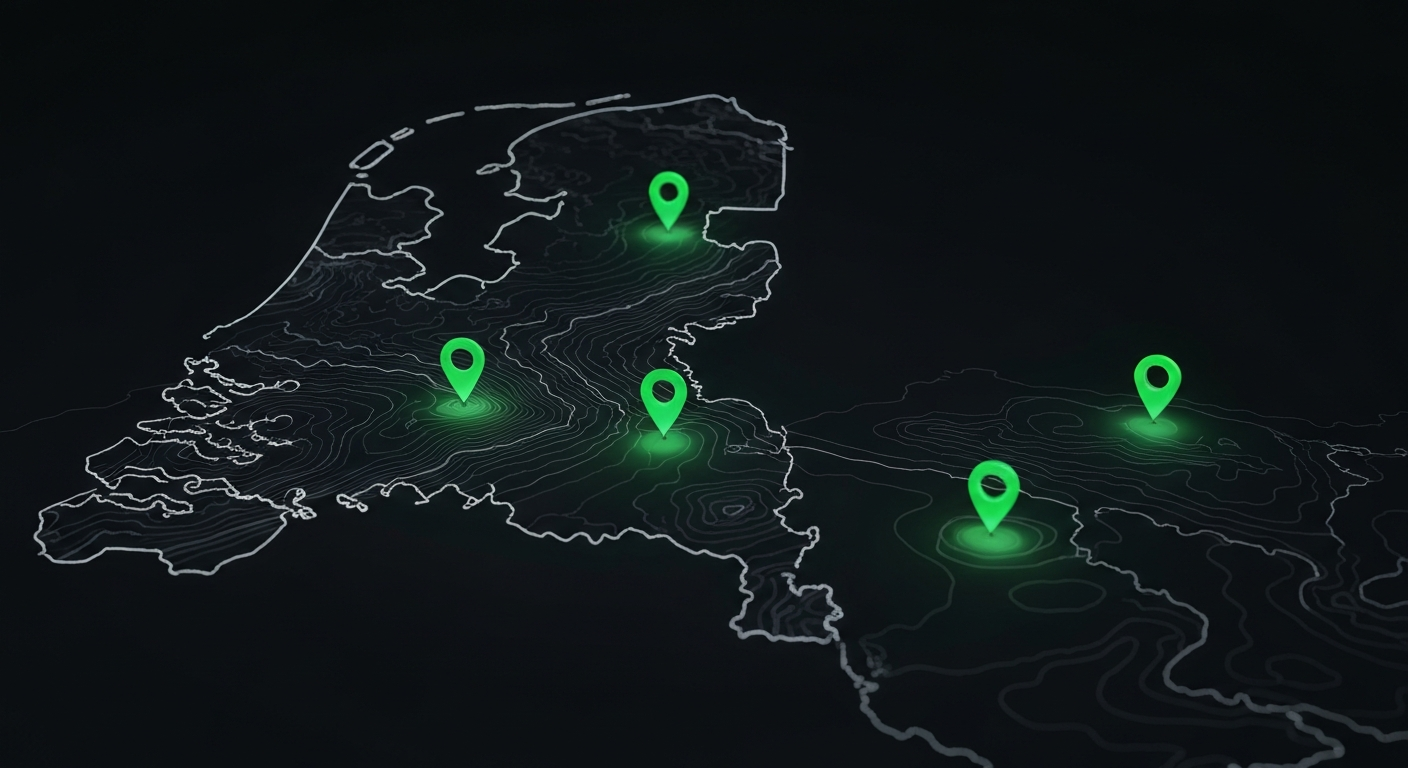
Millions of people contribute photos to nature apps, city reporting tools, and research platforms. AI photo geolocation makes that data reliable by automatically verifying and filling in location metadata.