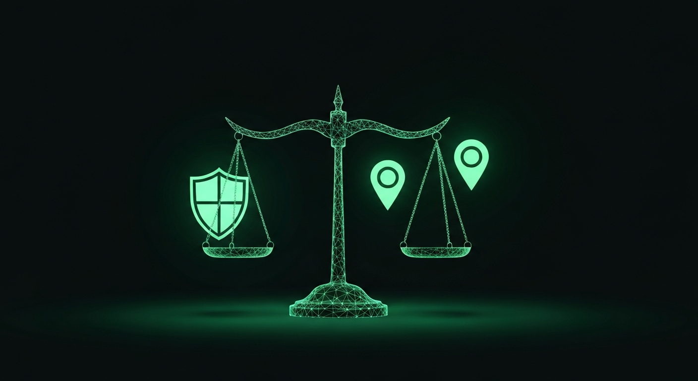
Any technology powerful enough to be useful is powerful enough to be misused. Photo geolocation is no exception. The ability to determine where a photo was taken has clear value for journalism, law enforcement, disaster response and open-source intelligence. It also raises legitimate questions about privacy, surveillance and the potential for harm. We believe those questions deserve honest answers.
The case for utility
Geolocation technology serves critical functions in situations where knowing a location can prevent harm or establish truth.
Journalistic verification. When images appear on social media claiming to document an event — a protest, a natural disaster, a military action — journalists need to verify that the images genuinely show what they claim. Geolocation is one of the most powerful tools for this. If a video claims to show flooding in Limburg, confirming that the street-level details match a location in Limburg is basic fact-checking.
Missing persons and law enforcement. When a photo is the only lead in a missing person case, geolocation can narrow the search area from an entire country to a neighbourhood. Dutch police and volunteer organisations have deployed location identification techniques in active cases.
Insurance and property verification. Confirming that damage photos match the claimed location prevents fraud. Confirming that a rental listing shows the actual property protects tenants.
Academic and historical research. Historians and researchers use geolocation to place archival photos, understand urban change and document heritage sites.
These are real applications with real benefits. Dismissing them to avoid ethical complexity would itself be irresponsible.
The risk landscape
The same capabilities that enable verification can also enable harm. We identify three primary risk categories:
Stalking and harassment. If someone shares a photo from daily life — a park, a cafe, a neighbourhood view — geolocation could theoretically reveal where that person spends time. This is the risk that receives the most public attention, and rightly so.
De-anonymisation. People who have chosen to keep their location private — survivors of domestic violence, political dissidents, whistleblowers — could be endangered if photos they share are geolocated against their will.
Normalisation of surveillance. Every new location-tracking capability contributes to a broader climate where constant surveillance is expected. Even if individual tools are used responsibly, their cumulative effect shapes social norms.
How GeoPin addresses these risks
We have made specific design and policy decisions to mitigate harm while preserving legitimate utility.
No image storage. When you upload a photo to GeoPin, we process it in memory and return the result. We do not store your uploaded images, and we do not build a database of searched photos. Once the API response is sent, the uploaded image data is gone. This is not just policy — it is an architectural decision. There is no image storage bucket, no search history database, no way for us to retroactively analyse what people have been searching for.
No person identification. GeoPin identifies places, not people. Our models are trained on visual place recognition — they analyse buildings, streets and landscapes. We do not perform facial recognition, and our pipeline has no capability to identify individuals in photos. The CosPlace embeddings we generate capture spatial and architectural features, not biometric data.
Rate limiting and authentication. We require API keys for any significant use. Trial accounts are limited to a small number of queries. This makes large-scale automated surveillance impractical and ensures we have a relationship with users who professionally rely on the service.
Limitation to the Netherlands. Our database covers the Netherlands. This geographic constraint is primarily a product decision — we aim to do one country exceptionally well — but it has an ethical dimension too. A worldwide geolocation database raises different concerns than a national one. Our reference imagery comes from openly licensed street photography captured in public spaces and published under open licences.
Acceptable use
Our terms of service explicitly prohibit using GeoPin for stalking, harassment or any form of unauthorised surveillance of individuals. We prohibit using the service to locate people who have not consented to being found. We prohibit using results to threaten, intimidate or endanger anyone.
These are not empty words. We reserve the right to revoke API access for any user whose usage patterns suggest prohibited activity. Users querying the API with photos that consistently contain identifiable individuals in non-public-interest contexts are flagged.
We are transparent, however, about the limits of enforcement. Once a geolocation result is returned, we cannot control how it is used. This is true of any information service. The honest answer is that acceptable use policies reduce harm without eliminating it.
The broader conversation
We believe the discussion around geolocation ethics benefits from specificity rather than abstraction. Vague concerns about “surveillance technology” do not help anyone make better decisions. Specific questions do.
What data is collected? None — no images are stored and usage logs contain only API keys and timestamps. Who has access? Only the uploader receives results. What is the reference data? Openly licensed street photography from public spaces. Can results be contested? If someone believes our service was used to harm them, we cooperate with appropriate authorities.
Building responsibly
We did not build GeoPin because geolocation is technically interesting — though it is. We built it because accurate location verification solves real problems for people doing important work. Journalists verifying conflict footage, researchers mapping urban change, real estate platforms combating fraud — these users need tools that work.
Building those tools responsibly means being honest about risks, making architectural choices that limit the potential for harm, and maintaining policies that are clear about what is and is not acceptable. It also means participating in the ongoing conversation about how location technology should evolve.
We do not claim to have solved the ethics of geolocation. We claim to take them seriously.