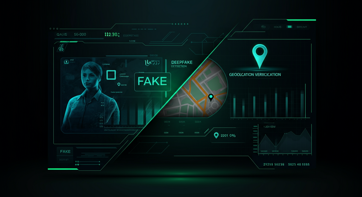
The Rise of AI-Generated Images
In 2026, generating photorealistic images with AI is easier than ever. Tools like Midjourney, DALL-E, and Stable Diffusion produce visuals that are virtually indistinguishable from real photographs at first glance. For most applications, that is fascinating, but for journalists, investigators, and insurance companies, it presents a serious challenge: how do you know if a photo is real?
The answer increasingly lies in geolocation verification. Where traditional methods like metadata analysis and reverse image search fall short with AI-generated content, visual place recognition offers a unique line of defense. An AI can generate a convincing street scene, but replicating the specific combination of buildings, street furniture, traffic signs, and landscape in a way that matches a real location? That is an entirely different challenge.
Why Traditional Detection Falls Short
Most deepfake detection tools focus on pixel patterns, compression artifacts, or statistical anomalies within the image. These methods work reasonably well for portraits and faces, but landscapes and street scenes are trickier. An AI-generated image of “a street in Amsterdam” can look visually perfect, complete with canal houses and bicycles.
The problem is that these detection tools provide a binary answer: real or fake. They do not tell you whether the depicted location actually exists. And that is often the crucial question. In insurance fraud cases, for example, knowing that a photo is technically authentic is not enough. You need to know whether the damage actually occurred at the reported location.
Geolocation as a Verification Layer
This is where visual place recognition comes into play. GeoPin analyzes the visual characteristics of a photo and compares them against millions of indexed street-level images from across the Netherlands. If a photo claims to have been taken in Rotterdam-Zuid, GeoPin can verify whether the visible buildings, streets, and surroundings actually match that location.
With AI-generated images, this produces interesting results. A deepfake of “a street in Utrecht” often contains elements that are inconsistent with a specific, real-world location. The facade of one building might match the Voorstraat, but the street profile comes from an entirely different neighborhood. GeoPin’s algorithm, based on CosPlace visual embeddings, catches these inconsistencies because it does not look at individual objects, but at the total visual signature of a place.
Real-World Scenarios
Consider this: an insurer receives a damage claim with photos of water damage to a property. The photos look convincing, but when analyzed by GeoPin, they do not match the reported address. In fact, the photos do not match any existing location in the Netherlands. That is a strong indication that the images are wholly or partially generated.
Another scenario plays out in journalism. An anonymous source shares photos of alleged environmental pollution at an industrial site. Before publishing the story, the editorial team wants to verify that the photos were actually taken at the claimed location. With GeoPin, the team can confirm within seconds whether the visual surroundings match the alleged industrial site, similar to how newsrooms verify social media photos.
The Power of Local Context
What sets GeoPin apart from generic image analysis is its deep knowledge of the Dutch environment. The system is trained on street-level imagery from across the country and recognizes subtle details that even the best AI image generators cannot consistently reproduce. Think of the specific color of Dutch traffic signs, the typical roof tiles in different regions, or the characteristic vegetation along provincial roads.
This local expertise makes it exceptionally difficult to create a convincing deepfake that also passes the geolocation check. An AI model trained on global data produces images that look “Dutch,” but the fine details rarely hold up at street level. The difference between a generic canal house and the specific building at Herengracht 401 is precisely where GeoPin excels.
A Layered Approach to Photo Verification
The most effective strategy against deepfakes combines multiple verification layers. Metadata analysis checks whether EXIF data is consistent. Pixel analysis searches for AI artifacts. And geolocation verification confirms whether the depicted location actually exists and matches the claim.
GeoPin fits seamlessly into this layered approach. Through the API, organizations can integrate geolocation verification into existing workflows for content moderation, fraud detection, or journalistic fact-checking. The result is a more robust verification process that does not just ask “is this photo real?” but also “does this photo match reality?”
Looking Ahead
As AI image generation continues to improve, the arms race between creation and detection will intensify. Geolocation verification offers a fundamental advantage: it tests images against physical reality. No matter how skilled an AI becomes at generating visually convincing street scenes, the real world remains the ultimate reference.
At GeoPin, we continue to expand our index of Dutch locations and refine our algorithms. Because in a world where you can no longer trust your eyes, the question “where is this?” may be the most powerful verification question you can ask.
Want to experience geolocation verification for yourself? Try GeoPin for free and upload a photo to see how accurately our AI can determine the location.