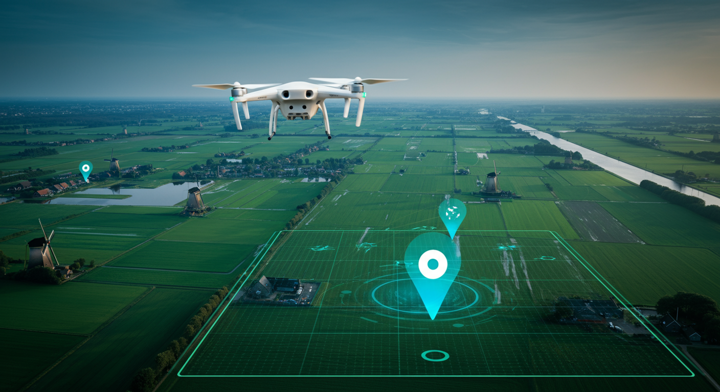
Dutch skies are getting busier by the day. Drones have rapidly evolved from hobbyist gadgets into indispensable tools for professionals in real estate, agriculture, infrastructure, and security. But while drone camera quality has improved spectacularly, a surprisingly persistent problem remains: where exactly was this photo taken?
GPS data from drones is often inaccurate, metadata sometimes goes missing entirely, and location information is regularly lost when images are shared or archived. This is where AI geolocation enters the picture, a technology that can analyze aerial images and determine the exact capture location based on visual characteristics alone.
Why GPS Isn’t Always Enough
Every drone records GPS coordinates when capturing a photo. That sounds like a solved problem, but reality is more stubborn. Consumer drones have GPS accuracy of 2 to 5 meters, which is too coarse for many applications. During professional inspections of bridges, dikes, or buildings, that margin can mean the difference between identifying the right structural element and the wrong one.
There are also scenarios where GPS data is simply absent. When images are shared via social media, EXIF data is often stripped automatically. In OSINT investigations, analysts regularly receive aerial imagery without any metadata. And in urban environments with tall buildings, GPS signals can be disrupted, leading to incorrect coordinates.
AI geolocation offers a robust alternative. By analyzing the aerial image itself, independent of metadata, the location can be determined based on what is actually visible in the frame.
How AI Recognizes Aerial Images
The technology behind localizing drone photos builds on the same principles as street-level image recognition, but with important adaptations for the bird’s-eye perspective. Where a street photo contains recognizable elements like building facades, street signs, and storefronts, an aerial photo offers an entirely different visual vocabulary.
AI models trained on aerial imagery learn to recognize patterns unique to specific areas. In the Netherlands, these include the characteristic parcel patterns of polder land, the distinctive grid of Amsterdam’s canal system, or the typical layout of post-war neighborhoods. These visual “fingerprints” are often just as unique as a street address.
At GeoPin, we combine visual place recognition with our extensive database of Dutch imagery. Our system compares the visual features of a drone image against millions of reference points, where deep learning models like CosPlace ensure robust matching even under varying lighting conditions or seasons.
Practical Applications in the Netherlands
The combination of drone photography and AI geolocation opens doors to applications that were unthinkable until recently.
Property inspections and valuations represent a growing market. Real estate agents and appraisers use drones to capture roofs, facades, and surroundings. When hundreds of images are taken per day, it is essential that each image is automatically linked to the correct address. AI geolocation makes this possible without manual input, saving time and preventing errors. As we described earlier in our article on real estate verification, reliable location determination is crucial for the integrity of valuation reports.
Infrastructure monitoring is another powerful use case. Rijkswaterstaat and provincial authorities deploy drones to inspect bridges, viaducts, and water defenses. During periodic inspections, it is crucial that new images are precisely matched to previously recorded positions, so that wear and damage can be tracked over time. AI geolocation serves as an additional verification layer on top of GPS.
Agriculture and precision farming also benefit significantly. Dutch farmers use drones for crop monitoring, but the sheer volume of images makes manual organization impractical. AI geolocation can automatically link each image to the correct plot, giving farmers quick insight into crop health per location.
The Challenge of the Bird’s-Eye View
Localizing aerial images is fundamentally different from recognizing street-level photos. In a street photo, the camera looks horizontally and captures recognizable objects at human scale. In a drone image, the camera often looks straight down or at an angle, drastically changing the perspective.
This brings unique challenges. A building that is immediately recognizable at street level by its facade looks like a rectangle with a roof from above. Streets become lines, parks become green patches. The AI must learn that these two perspectives represent the same location.
The solution lies in multi-perspective matching. Modern AI models are trained on both street-level and aerial imagery, so they can bridge the gap between how a location looks at ground level and how the same spot appears from above. This is precisely where the power of a comprehensive, specialized database makes all the difference.
Drones and OSINT: Verification from Above
In the world of open source intelligence (OSINT), aerial images are becoming increasingly important as evidence. Whether it concerns verifying news reports, documenting environmental violations, or supporting legal investigations, the question “where and when was this image captured?” is always relevant.
AI geolocation offers OSINT researchers a powerful instrument to verify aerial images without relying on the metadata provided by the creator. By analyzing the image itself, an independent location determination can be made that may or may not match the claimed location.
This is especially valuable when verifying images circulating on social media. A drone image of alleged environmental damage can be verified by comparing the AI-determined location with known industrial sites or nature reserves. This approach aligns with the verification methods we described earlier in our OSINT guide.
Summer 2026: Drones Across the Dutch Landscape
As summer arrives, drone usage in the Netherlands traditionally increases. Longer days, better weather conditions, and the lush green landscape make this the ideal season for aerial photography. From tourists capturing the Zaanse Schans from above to inspectors checking solar panels, the coming months will produce millions of aerial images.
For professionals working with large volumes of drone photography, AI geolocation offers a way to bring order to the chaos. Instead of manually tagging and organizing each image, the process can be largely automated. Upload a batch of drone images and receive an accurate location determination for each one.
Getting Started with Drone Photo Geolocation
The possibilities of AI geolocation for drone photography are growing rapidly. Whether you work in real estate, infrastructure, agriculture, or research, the technology is now mature enough to make a difference in your daily workflow.
Want to discover how GeoPin can locate your drone images? Try it yourself at geopin.nl and upload an aerial photo to see how accurately our AI can determine the location. For integration into your existing workflow, we also offer a powerful API that supports batch processing of aerial images.