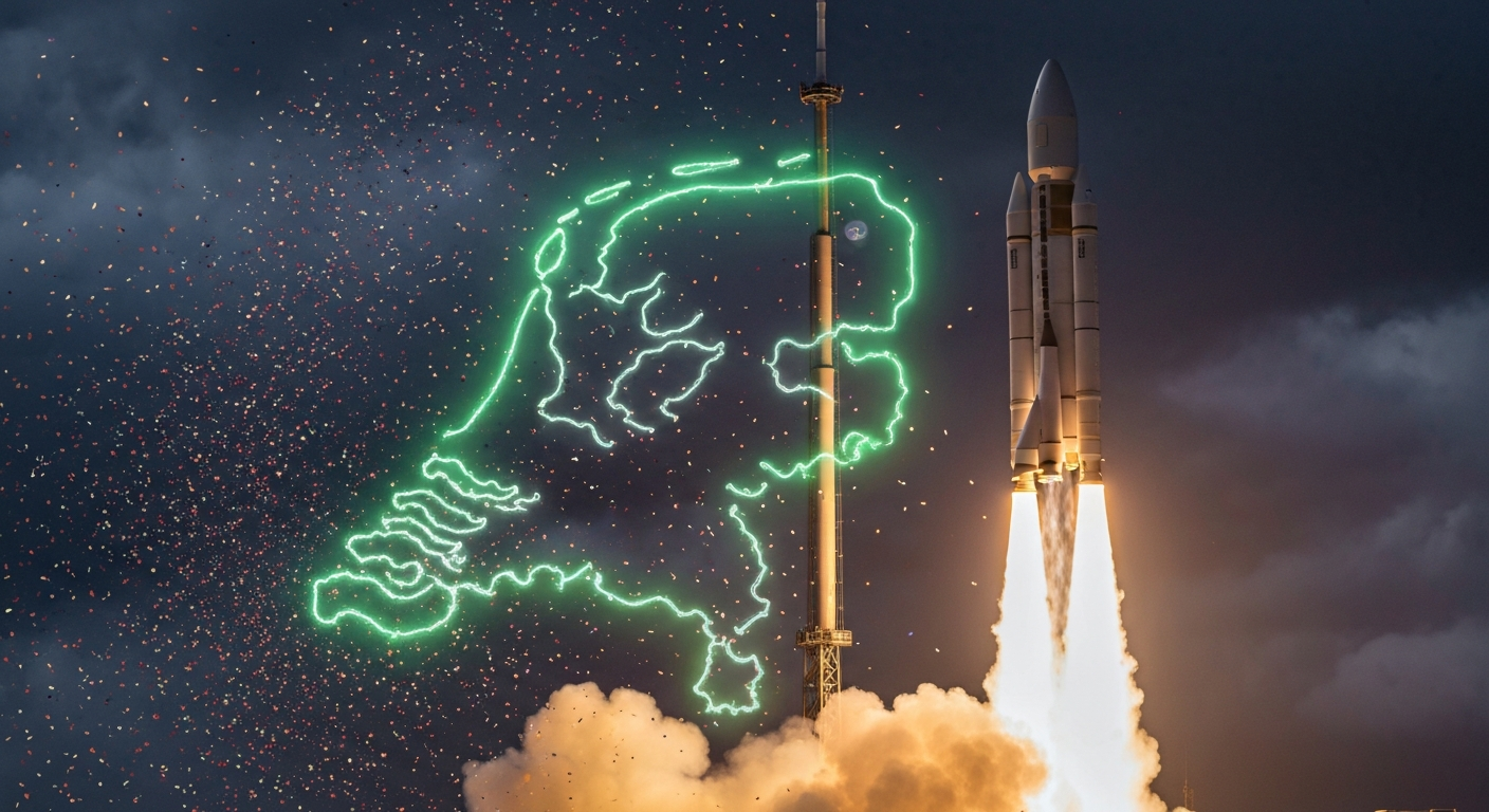
Today, we are incredibly proud to announce that GeoPin is officially live! After months of engineering, indexing, testing and refining, our AI-powered geolocation service now offers full coverage of the Netherlands. Upload a photo and GeoPin will tell you where in the Netherlands it was taken — no GPS metadata required.
This is the product we set out to build, and we are thrilled to put it in your hands.
What GeoPin does
GeoPin uses advanced visual place recognition to determine the geographic location of a photo based solely on its visual content. Our system analyses architectural features, street patterns, signage, vegetation and hundreds of other visual cues to match your image against a reference index of more than five million geotagged photos spanning every province of the Netherlands.
You can use GeoPin through our web interface at geopin.nl or integrate it into your own applications via our REST API. Upload an image and within seconds you receive a ranked list of predicted locations with confidence scores and accuracy radii.
No GPS tags. No EXIF data. Pure visual intelligence.
Coverage in numbers
We are launching with the most comprehensive visual index of the Netherlands ever assembled for geolocation purposes. Here is what that looks like:
- 5.2 million indexed reference images
- All 12 provinces covered
- All 342 municipalities represented
- 93% of named streets in urban areas included in the index
- Under 200 metres median accuracy in major cities
- Under 500 metres median accuracy nationwide
- Under 2 seconds average response time
These numbers reflect months of work building our multi-source ingestion pipeline, running quality filters over millions of candidate images, and generating GPU-accelerated embeddings with our CosPlace-based model. We wrote about the engineering behind this index in an earlier post, and we encourage anyone curious about the technical details to give it a read.
Coverage is densest in the Randstad — Amsterdam, Rotterdam, The Hague and Utrecht — where street-level imagery is most abundant. But we have invested heavily in rural and suburban coverage. Provinces like Friesland, Drenthe and Zeeland, which are historically underserved by street photography platforms, received special attention in our indexing pipeline.
Features at launch
Web interface. A clean, fast web application where you can drag and drop an image and view results on an interactive map. No account required for your first three searches.
REST API. A fully documented API with endpoints for single-image geolocation and batch processing. Supports JPEG, PNG and WebP formats up to 20 MB. API key authentication with rate limiting for fair use.
Confidence score. Every prediction comes with a confidence score between 0 and 1 and an estimated accuracy radius in metres. These signals let you gauge how much weight to place on a result based on your specific use case.
Multiple predictions. Each request returns up to five ranked predictions, not just the top result. This is valuable when the top prediction is uncertain or when your workflow benefits from considering alternative locations.
Batch processing. Submit up to 50 images in a single API call for efficient bulk processing. Ideal for archival digitisation, content moderation pipelines and research workflows.
Privacy by design. We do not store your images after processing. We do not read EXIF metadata. We do not build user profiles. Your data is yours.
Pricing
We want GeoPin to be accessible to individual researchers and journalists while also serving large organisations. Our pricing reflects that:
| Plan | Monthly requests | Price |
|---|---|---|
| Trial | 3 | Free |
| Starter | 100 | EUR 19/month |
| Pro | 500 | EUR 99/month |
| Business | 2,000 | EUR 149/month |
The free tier is not a trial. It does not expire and provides full access to the API. Are you an academic researcher, journalist or working for a non-profit in verification or cultural heritage? Get in touch at press@geopin.nl — we offer extended free access for qualifying organisations.
All paid plans include priority processing, email support and access to our developer documentation portal. Enterprise customers receive dedicated infrastructure, custom SLAs and direct technical support.
Who is GeoPin for?
We built GeoPin for anyone who needs to determine where a photo in the Netherlands was taken.
Journalists and fact-checkers use GeoPin to verify the location of images circulating on social media. When a viral photo claims to show flooding in Utrecht, GeoPin can confirm whether the image actually matches Utrecht or somewhere entirely different.
OSINT researchers use GeoPin as one of the tools in their investigative toolkit. Visual geolocation complements traditional methods like reverse image search, metadata analysis and manual landmark identification.
Cultural heritage organisations use GeoPin to catalogue and georeference historical photographs whose original location data has been lost.
Urban planners and researchers use GeoPin to study how places change over time by geolocating images from different periods.
Curious individuals use GeoPin to identify the locations in family photo albums, travel collections or online discoveries.
The technology behind GeoPin
At the core of GeoPin is CosPlace, a state-of-the-art visual place recognition model that produces dense feature embeddings for images. When you upload a photo, GeoPin generates an embedding and retrieves the most similar reference images from our index using approximate nearest-neighbour search. The candidates are then re-ranked using a scoring step that factors in geometric consistency and geographic plausibility.
Our infrastructure runs on Cloudflare’s global network for the web layer and API edge functions, with GPU inference handled by dedicated NVIDIA A100 clusters. This architecture gives us low latency worldwide while concentrating expensive GPU computation where it can be managed most efficiently.
What is coming next
The launch is a milestone, not a finish line. Here is what we are working on:
Monthly index updates. The Netherlands is constantly changing, and our index needs to keep pace. We publish a monthly changelog detailing new imagery sources, coverage improvements and accuracy benchmarks.
Video geolocation. We are developing a real-time video geolocation capability that processes video streams and returns location predictions as the video plays. Early prototypes are promising, and we expect to open a beta later this year.
Geographic expansion. The Netherlands is our foundation, but the technology generalises. Belgium is the logical next step, followed by other European countries. Each expansion will meet the same accuracy standards we set for our Dutch launch.
Client SDKs. Official Python and TypeScript SDKs are under development, with built-in retry logic, type-safe response handling and connection pooling. We expect to release these within the next quarter.
Improved night and low-light performance. We are expanding our night-time reference imagery and fine-tuning our model to narrow the accuracy gap between daytime and night-time images.
Thank you
Building GeoPin has been an intense and rewarding journey. We want to thank the early beta testers who provided invaluable feedback, the open-data communities whose imagery makes this index possible, and everyone who has followed our development since the early days.
We built GeoPin because we believe that finding out where a photo was taken should be fast, accessible and reliable. As of today, it is.
Head to geopin.nl to try it out, or check our API documentation to start integrating. We cannot wait to see what you build with it.
Welcome to GeoPin!