Reading the world without GPS
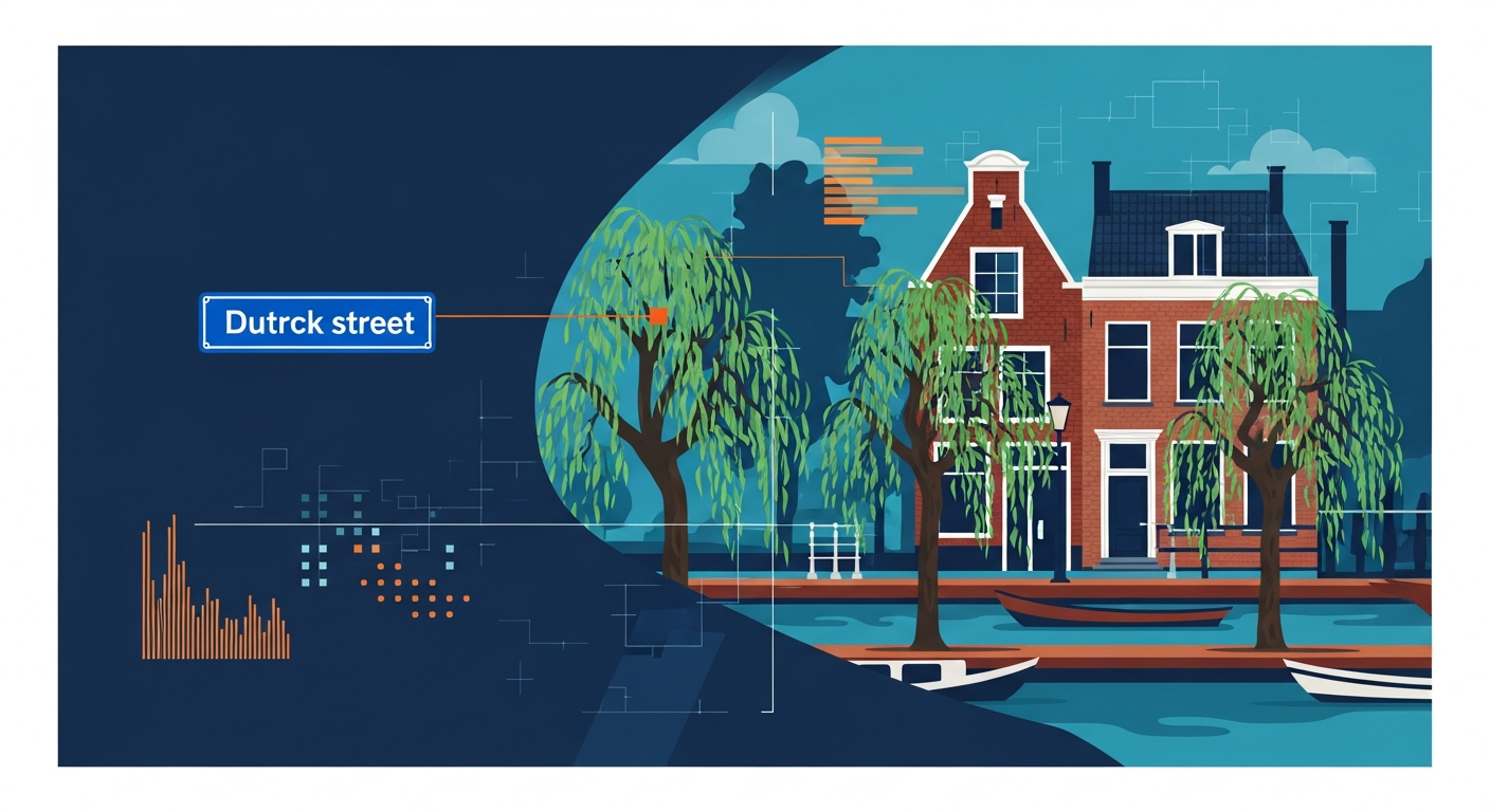
When an experienced OSINT investigator looks at a photograph, they are not searching for GPS coordinates in the metadata. They are looking at what is visible in the image itself: a street sign with a distinctive typeface, a facade with a recognizable building style, a row of trees that fits a specific climate. This exact approach underpins modern AI geolocation, but at a scale and speed that would be impossible for humans.
At GeoPin, we use deep learning models that convert visual patterns in photographs into location information. In this article we explore the three most important categories of visual clues that AI systems use to determine where a photo was taken: text and signage, architecture, and vegetation.
Street signs and text: the most direct clue
The most obvious visual clue is text in the image. A street name sign, a shopfront, a traffic sign or even a small village name plate in the background can be enough to establish a location.
Modern AI models combine two capabilities here. First there is OCR (Optical Character Recognition), the technology that can detect and read text in images. Second there is contextual understanding: the model knows that a blue street sign with white lettering is typically Dutch, while a green sign with white lettering is more likely an American street name plate.
In the Dutch context, there are particularly many visual text signals. Think of the distinctive blue ANWB directional signs, the white place-name signs with their red borders, or the numbered hectometer posts along motorways. Each of these elements reveals not just the country but can often narrow the location down to neighbourhood level.
What makes this even more interesting is that AI models do not necessarily need to “read” the text to extract information from it. The visual pattern of a sign, the colour combination, the shape and the placement are informative on their own. In our article about CosPlace we explain how the model converts images into vector representations where these kinds of visual patterns are automatically factored in.
Architecture: building styles as geographic fingerprints
Every country, every region and sometimes even every city has a recognizable building style. For AI geolocation, architecture is one of the most powerful signals because building styles are geographically very consistent.
In the Netherlands you can think of the narrow canal houses with their stepped gables in Amsterdam, the post-war reconstruction architecture in Rotterdam, the Brabant farmhouses with their low roofs, or the Frisian terp villages. A trained model recognizes these patterns not as “architectural history” but as clusters of visual features that are statistically linked to specific coordinates.
It is not just about striking monuments. Everyday elements are especially valuable: the type of roof tile, the colour of the brickwork, the style of window frames, the height of buildings relative to the street. Dutch terraced houses from the 1970s look fundamentally different from Belgian or German residential neighbourhoods from the same era. An AI model trained on millions of geotagged street-level images has learned these subtle differences without anyone explicitly programming them.
This principle also works at smaller scales. The presence of a specific type of pavement tile, a particular model of street lamp or a recognizable bus shelter can significantly narrow the search space. How GeoPin processes these visual features through its entire pipeline, from embedding to geometric verification, is something we have described in detail before.
Vegetation: nature as a compass
The third major category of visual clues is vegetation. Plants, trees and the overall landscape reveal an enormous amount about geographic location, climate and even the season.
In the Dutch context, vegetation is a particularly useful signal. The characteristic pollard willows along ditches, the endless rows of poplars along canals, the tulip fields in spring and the vast heathlands of the Veluwe are all visual signatures that a model can learn to recognize. Even the type of grass, the green, dense meadows of the Dutch polder landscape, differs noticeably from grasslands in Southern Europe or Scandinavia.
Vegetation also brings challenges. As we described in our article about seasonal change and geolocation, the Dutch landscape changes dramatically across the seasons. A model needs to be robust enough to recognize the same location in the full bloom of June and the bare branches of January.
AI models solve this by learning which visual features are season-resistant. The structure of a tree canopy, the width of a ditch, the ratio of built-up area to green space: these elements barely change with the seasons and therefore serve as reliable anchors for geolocation.
The power of combination
No single visual clue is infallible on its own. A street sign can be illegible, a building can have been recently renovated, vegetation can be seasonal. The real strength of AI geolocation lies in combining all these signals simultaneously.
When you upload a photo to GeoPin, the model does not analyze one feature but thousands at once. It weighs the colour distribution of the image, the presence of specific shapes, the texture of surfaces, the distribution of light and shadow, and much more. All of this information is compressed into a compact vector representation that is then compared against millions of reference images.
This is also why AI geolocation sometimes performs surprisingly well on photos that are difficult for humans to place. A seemingly unremarkable photograph of a residential street contains dozens of clues for a trained model: the type of road surface, the spacing between street lamps, the pitch angle of roofs, the colour of letterboxes. Together they form a unique visual signature.
What this means for OSINT and verification
For investigators and journalists, this technology opens new possibilities. Where manually analyzing visual clues in a photograph can take hours, AI geolocation can provide a reliable estimate in seconds. That does not replace human expertise, but it accelerates the process considerably.
Think of verifying imagery from a news report, tracing the origin of a viral social media photo, or checking whether a submitted image was actually taken at the claimed location. In all of these scenarios, the combination of AI speed and human interpretation is most powerful.
Try it yourself
Curious how GeoPin interprets the visual clues in your photos? Upload a photo at GeoPin.nl and discover within seconds where the image was taken. Whether you work in journalism, insurance, real estate or are simply curious, the technology behind visual geolocation is becoming more accessible every day.