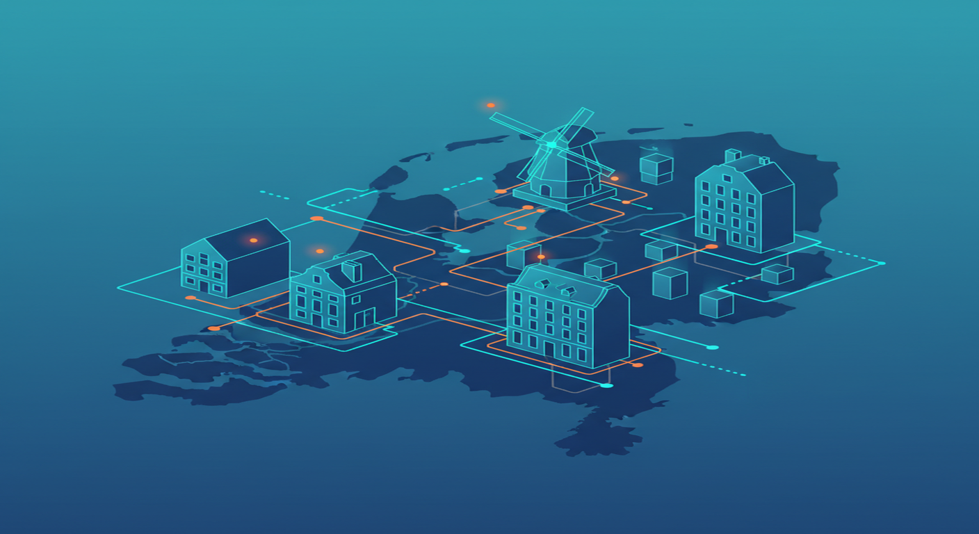
A country that maps itself
The Netherlands has a remarkable relationship with data. As one of the most densely populated and meticulously organized countries in the world, it has a tradition of precise registration stretching back centuries. From the cadastral system Napoleon introduced in 1811 to today’s digital base registries, mapping the built environment is deeply embedded in Dutch culture.
For AI geolocation, this is an enormous advantage. The rich, open geodata that the Dutch government makes available forms a foundation on which modern location technology can build. In this article we explore the most important sources and explain why the Netherlands is such an ideal testing ground for AI-driven place recognition.
The BAG: every building in the Netherlands, digitally recorded
The Basisregistratie Adressen en Gebouwen (Basic Registration of Addresses and Buildings), better known as the BAG, is one of the most complete property registrations in the world. Every municipality in the Netherlands is required to maintain all addresses, buildings, residential units, berths and pitches in this system. The result is a dataset containing more than ten million objects, each with exact geometry, year of construction, intended use and status.
For geolocation, the BAG is valuable on multiple levels. At the most basic level, the dataset makes it possible to link a visually recognized building to an exact address. But the real power lies in the metadata. The construction year of a building says something about the architectural style that an AI model might recognize in the image. The intended use (residential, commercial, industrial) helps classify the surroundings. And the geometry makes it possible to compare building contours with what is visible in a photograph.
The BAG is fully open and freely available through PDOK (Publieke Dienstverlening Op de Kaart), the central platform for Dutch geodata. A complete export is published monthly, and individual objects can be queried in real time via an API.
The Kadaster and the BGT: from plot boundaries to pavement tiles
Where the BAG focuses on buildings and addresses, the Basisregistratie Grootschalige Topografie (Basic Registration of Large-Scale Topography, or BGT) goes a step further. The BGT contains detailed information about the physical terrain: road surfaces, watercourses, green spaces, civil engineering structures and terrain boundaries. The level of detail is remarkable: individual parking spaces, pavements and even tree pits are recorded as separate objects.
For AI geolocation, this granularity offers unprecedented possibilities. When a model recognizes a certain type of road surface in a photo, measures a specific width of a pavement, or estimates the distance between a building and a waterway, that information can be verified against the BGT. In our article about how GeoPin works we describe how geometric verification improves the accuracy of location estimates. Open geodata makes that verification step richer and more reliable.
The Kadaster also maintains the topographic maps of the Netherlands and the Basisregistratie Topografie (BRT), which provide a complete picture of the Dutch landscape at various scales. From provincial roads to wind turbines, everything is registered and freely accessible.
3D BAG: the third dimension
One of the most innovative projects in the Dutch geodata landscape is the 3D BAG, developed by TU Delft. This project combines the two-dimensional BAG geometry with point clouds from the Actueel Hoogtebestand Nederland (AHN, the national elevation model) to generate three-dimensional models of every building in the Netherlands.
The result is impressive: more than ten million buildings with precise 3D geometry, including roof shapes, ridge heights and gutter lines. For geolocation this opens a fascinating perspective. A photograph always contains three-dimensional information: the visible height of buildings, the pitch angle of roofs, the ratio between facade width and building height. By comparing these visual estimates against 3D models from the 3D BAG, a system can refine its location estimate.
The 3D BAG is also useful for understanding the perspective of a photograph. If you know how tall buildings are and how they relate to each other spatially, you can estimate from which point and in which direction a photo was taken. That makes the leap from “this is somewhere in Delft” to “this is the Oude Delft, photographed from the bridge” much smaller.
PDOK: the gateway to Dutch geodata
All these datasets come together on PDOK, the central distribution platform for the Dutch geo-information infrastructure. PDOK offers standard web services (WMS, WFS, WMTS) and downloadable files for dozens of datasets, from the AHN (elevation measurements with laser precision) to the BRO (subsurface data).
What makes PDOK special is the combination of quality and accessibility. The services are free, require no registration for basic use, and the data is regularly updated. For an AI system with the Netherlands as its working area, PDOK is an inexhaustible source of contextual information.
Take the AHN as an example. This dataset contains laser elevation measurements of the entire Dutch surface at a density of eight to twelve points per square metre. That means not only the height of buildings and trees is known, but also the micro-relief of the terrain: the height of dykes, the depth of ditches, the slope of driveways. All of this information can help refine a location estimate.
Why the Netherlands leads the way
The Dutch situation is unique for several reasons. First, the completeness of the registrations is exceptional. Many countries have similar datasets, but rarely with the same coverage and currency. Second, the openness is remarkable: the vast majority of geodata is freely available under open licences. And third, standardisation is highly advanced, making it straightforward to combine datasets with one another.
For AI geolocation this means the Netherlands functions as a kind of laboratory. Nowhere else in the world can you link a photograph so effectively to a rich set of contextual data about the photographed environment. In our article about building the Netherlands index we describe how GeoPin indexes millions of reference images. Open geodata is an indispensable complement to that process: it adds a layer of structural information that strengthens purely visual recognition.
The future: linked geodata and knowledge graphs
The next step in the evolution of Dutch geodata is the shift toward linked data and knowledge graphs. The Kadaster is actively working on exposing registrations as linked open data, making relationships between objects explicit and queryable. A building is then not just a geometry with a construction year but a node in a network of relationships: it stands on a street, in a neighbourhood, next to a canal, opposite a park.
For AI systems this is a promising development. Instead of combining separate datasets, a system will soon be able to query a coherent knowledge graph. “Which 1930s buildings stand along a canal in Utrecht?” becomes a single query rather than a complex analysis across multiple datasets.
Try it yourself
GeoPin builds on the rich geodata infrastructure of the Netherlands to locate photographs with precision. Want to see how well it works? Upload a photo at GeoPin.nl and experience how open data and AI work together to determine the location of your image. For developers who want to integrate this technology, our API integration guide offers a practical starting point.