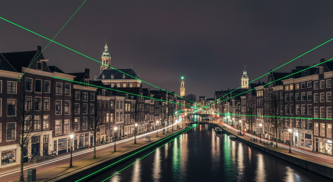
Geolocation works best when an image is rich in visual clues: readable street signs, distinctive architectural details, recognisable landmarks and clear visibility. Night photography strips away many of these advantages. Shadows swallow texture, artificial lighting introduces colour casts, and large portions of the image may contain nothing but darkness. For any visual geolocation system, night-time images represent one of the most challenging input categories.
At GeoPin, we have invested significant effort in understanding where and why night photos challenge our pipeline, and what can be done about it. This post explores the technical difficulties, explains how CosPlace handles them, and offers practical advice for users who need to geolocate low-light images.
Why night photos are harder
The difficulties fall into three broad categories: reduced information density, domain shift and ambiguity.
Reduced information density. A daytime street scene might contain hundreds of identifiable features: the colour of building facades, the style of window frames, paving textures, tree species, sky gradients and distant landmarks. At night, many of these features become invisible or indistinguishable. A photo might show only a few lit windows, a street lamp and a strip of wet road reflecting light. The total amount of visual information available for matching drops dramatically.
Domain shift. Most reference images in our index, and in street-level imagery datasets generally, are captured during daylight. This means the model has seen far more daytime views of any given location than night-time views. When a night-time search image is compared against a predominantly daytime index, the visual appearance gap can cause the model to miss correct matches or return false positives. A brightly lit canal bridge at night looks remarkably different from the same bridge under overcast midday light.
Ambiguity. Artificial lighting creates a kind of visual homogeneity. Sodium street lighting casts the same orange glow in Groningen as in Maastricht. LED-lit shop facades follow similar design patterns across the country. The distinctive architectural features that make daytime geolocation possible can be reduced to silhouettes or lost entirely in glare and shadow.
How CosPlace handles low-light conditions
CosPlace, the visual place recognition model at the core of GeoPin, is not designed exclusively for night-time images, but the architecture has properties that help mitigate some of the challenges.
Learned feature robustness. CosPlace is trained on large datasets that include variations in lighting, weather and season. During training, the model learns to extract features that are stable across these variations. A distinctive roofline, for instance, may be represented similarly whether it is sunlit or silhouetted against a twilight sky. This invariance is not perfect, but it provides a meaningful baseline.
Structural features over colour. The model’s learned representations tend to emphasise structural and geometric features — edges, shapes, spatial relationships — over raw colour information. This is advantageous at night because structural features are more likely to survive the transition from daylight to artificial illumination than colour-based features. The outline of a church tower is recognisable whether it is bathed in golden-hour light or backlit by a floodlight.
Multi-scale matching. CosPlace operates on features at multiple spatial scales. Even when fine-grained details are lost to darkness, larger-scale patterns — such as the overall street layout, the spacing between buildings, or the curve of a canal — may still be detectable. These macro features can constrain the search results to a neighbourhood even when precise localisation is difficult.
Despite these strengths, we are transparent about the limitations. Our internal benchmarks show that accuracy on night images drops roughly 15 to 20 percentage points compared to daytime images of the same locations. Confidence scores are typically lower as well, which is deliberate: the model is correctly signalling that it is less certain about its predictions.
What we are doing about it
Improving night performance is an active area of development at GeoPin. Several initiatives are under way.
Expanding the night index. We are actively collecting and incorporating night-time street imagery to increase the proportion of low-light reference images in our index. When the model can match a night query against a night reference, the domain shift problem largely disappears.
Data augmentation. During model fine-tuning, we apply aggressive lighting augmentation to training images: simulating night-time conditions, varying artificial light sources, and adding noise patterns characteristic of high-ISO photography. This encourages the model to learn representations that are even more robust to illumination changes.
Pre-processing pipeline. Before a night image reaches the model, our pre-processing pipeline applies adaptive histogram equalisation to boost contrast in dark regions and reduce the impact of overexposed highlights. This does not recover information that was never captured, but it can make existing weak details more prominent for the feature extraction stage.
Tips for better night results
If you need to geolocate night photos — whether for verification, investigation or personal curiosity — these strategies will improve your chances of a reliable result.
Look for images with artificial landmarks. Photos featuring illuminated signs, lit building facades or distinctive light installations perform much better than photos of dark residential streets. Neon signs, church lighting and illuminated bridges are all strong geographic markers.
Prefer twilight over full darkness. The blue hour — that period just after sunset when the sky still holds some colour — preserves far more visual information than full night-time darkness. If you have multiple images of the same scene at different times, the twilight frame will almost always yield better results.
Upload the highest available resolution. Night photos already suffer from reduced information. Compression artefacts and low resolution compound the problem. If you have access to the original file rather than a compressed social media version, use it.
Check the confidence score. Night-time predictions are more often uncertain. Pay close attention to the confidence score and accuracy radius. A prediction at 0.6 confidence with a 500-metre radius tells you the general area but not the precise street. Treat it as a starting point for further investigation, not a definitive answer.
Combine with other clues. Night photos often contain contextual clues that complement visual geolocation. Visible text on shop facades, even partially obscured, can confirm or refine a prediction. The type of street lighting, the style of traffic signs and even the pattern of paving tiles can all provide supporting evidence.
The bigger picture
Night photography geolocation is a microcosm of a broader challenge in computer vision: building models that generalise across the conditions they encounter in real-world deployment, not just the conditions present in training data. As datasets become more diverse and models more sophisticated, the gap between daytime and night-time performance will continue to narrow.
For now, GeoPin is honest about what it can and cannot do in low-light conditions. We would rather give you a low confidence score that accurately reflects uncertainty than a high confidence score that leads to a wrong conclusion. That philosophy — accuracy over bravado — guides every part of how we build this product.
If you have night images that you are struggling to geolocate, we would love to take a look. Reach out at support@geopin.nl and our team can walk you through getting the best results from challenging inputs.