Why journalists need geolocation
In an era of information overload, verification has become one of the most critical functions in journalism. Every day, thousands of photos and videos appear on social media claiming to document events — but not all of them are what they claim to be.
Photo geolocation gives journalists the ability to independently confirm where an image was captured, without relying on the claims of the person who shared it. Here are five practical ways newsrooms put this capability to work.
1. Verifying eyewitness footage
When a breaking news event happens, the first images often come from bystanders with smartphones, not professional photographers. These eyewitness photos and videos are invaluable, but they arrive without the chain of custody that editorially produced content has.
Consider a scenario that plays out regularly: a video appears on social media showing flooding in what is claimed to be a specific Dutch city. Before a news organisation can responsibly publish that footage, they need to answer a basic question — is this actually footage from that location?
Geolocation provides the answer. By analysing the visual content, an editor can confirm whether the streetscape matches the claimed location. This matters because misattributed footage is surprisingly common. Old videos resurface during new events. Images from one location are shared with claims about another. Sometimes this is innocent confusion; sometimes it is deliberate misinformation.
2. Breaking news and disaster response
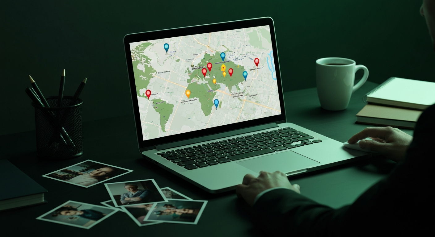
During rapidly developing events — natural disasters, industrial accidents, large-scale protests — newsrooms need to understand the geographic scope of what is happening. Multiple images and videos arrive from different sources, and mapping them to specific locations builds a picture of the event’s extent.
Geolocation allows journalists to:
- Map the affected area by placing verified images on a map, showing readers exactly where damage occurred or events unfolded.
- Identify unreported areas by noticing geographic gaps in coverage, prompting reporters to investigate locations from which no images have emerged.
- Track progression by geolocating time-stamped images to show how a flood, fire or protest moved through an area over time.
The speed of AI-assisted geolocation is particularly valuable here. Manual geolocation can take a skilled analyst 15 to 30 minutes per image. Automated tools can process images in seconds, allowing newsrooms to keep pace with fast-moving events.
3. Conflict zone reporting
Some of the most impactful applications of geolocation in journalism have come from conflict reporting. When reporters cannot safely access a war zone, social media footage becomes a primary source of information about what is happening on the ground.
Geolocating imagery from conflict zones serves several critical functions:
Documenting attacks on civilian infrastructure. When images surface of a damaged hospital, school or residential area, geolocating the footage to a specific address provides evidence that can be cross-referenced with satellite imagery, building records and lists of protected sites.
Tracking military movements. Videos showing military vehicles, troop movements or equipment can be geolocated to establish deployment patterns. This has been used extensively in investigative journalism about conflicts worldwide.
Verifying or refuting official narratives. When parties to a conflict make claims about events — denying an attack took place, asserting that an attack targeted a military objective rather than a civilian one, or disputing the location of an incident — geolocated footage provides an independent evidentiary record.
Organisations such as Bellingcat, the New York Times Visual Investigations team and the BBC’s open-source investigations unit have demonstrated the power of these techniques across conflicts from Syria to Ukraine to Sudan.
4. Social media verification
Social media platforms strip EXIF metadata from uploaded images, meaning GPS coordinates embedded in the original photo are gone by the time a journalist encounters the image. Visual geolocation becomes the only reliable method for confirming the location.
Common scenarios include verifying political claims (does the photo actually show the alleged location?), checking viral content (is the location claim accurate, or has the image been placed in a different context?), and assessing source credibility (do a source’s photos actually place them where they claim to have been?).
5. Long-form investigations
Geolocation is not only a real-time verification tool — it is a fundamental part of investigative journalism. Investigations that span months often involve analysing large volumes of imagery to build a complete picture of events, activities or conditions at specific locations.
Environmental investigations use geolocation to document illegal dumping, unauthorised construction or environmental damage. Photos from whistleblowers or social media posts can be precisely mapped and cross-referenced with satellite imagery and permit records.
Corporate accountability investigations may involve verifying whether conditions at facilities match what companies claim. Geolocating images from inside or around factories, warehouses or work sites establishes the physical link between photographic evidence and specific business operations.
Historical investigations sometimes require geolocating archival images — photographs from years or decades ago. While the environment may have changed significantly, AI models trained on current street-level imagery can still identify locations when enough structural features remain. Older buildings, road patterns and geographic features like waterways persist for decades.
The verification discipline
What connects all five use cases is a commitment to verification as a discipline. For journalists, the question is never just “where does this person say this photo was taken?” It is “where does the evidence in the photo itself indicate it was taken?”
AI-driven tools like GeoPin make this discipline accessible at a scale and speed that was not possible just a few years ago. The technology is a force multiplier, but the judgement remains human. Geolocation tells you where a photo was taken. The journalist decides what that means.