The scale of insurance fraud
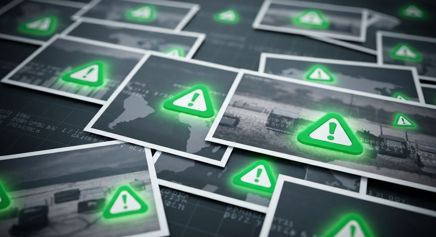
Insurance fraud costs the industry billions of euros annually across Europe. While fraud takes many forms — from exaggerated claims to entirely fabricated incidents — a surprisingly common element is photographic deception. Claimants submit photos that do not actually show what or where they claim.
Traditionally, detecting these discrepancies depended on the experience and intuition of claims adjusters. But as claim volumes increase and processing timelines shorten, manually scrutinising every photo in every claim is simply not feasible. This is where automated photo geolocation enters the picture.
How photo fraud works
Location-based photographic fraud in insurance claims typically falls into several categories:
Staged incidents at different locations. A claimant files a claim for property damage at the insured address, but the photos were actually taken at a different property — perhaps one where pre-existing damage was conveniently available to photograph.
Recycled damage photos. Images of legitimate damage from a prior incident (or even sourced from the internet) are submitted as evidence for a new claim. The photos are real, but they do not depict the claimed incident at the claimed location.
Geographic inconsistency. A claimant reports an incident in one city but submits photos that, upon analysis, show a location in an entirely different region. This can indicate a fabricated claim or at the very least a submission error that warrants investigation.
Organised fraud rings. Organised fraud operations may submit multiple claims using photos from a limited number of staged scenes. Geolocation can link these claims together by identifying that supposedly independent incidents were photographed at the same location.
The EXIF problem
The obvious first step for location verification is checking the EXIF metadata embedded in digital photos. Many smartphones record GPS coordinates when a photo is taken, and this data travels with the file.
But EXIF data has critical limitations for fraud detection:
It is trivially editable. Free tools allow anyone to modify or fabricate EXIF GPS coordinates. A fraudster who knows insurers check metadata can simply set the coordinates to whatever the claim requires.
It is often missing. Many users disable location services on their phones. Photos taken with dedicated cameras rarely include GPS data. Screenshots and photos sent through messaging apps lose their metadata.
It does not survive sharing. If a claimant takes a photo, sends it to their partner via WhatsApp, who then emails it to the insurer, the EXIF data may be stripped at multiple points in that chain.
For these reasons, EXIF metadata is useful when present and intact, but it cannot be relied upon as the sole method for location verification. Visual content analysis — determining a location based on what the photo shows — provides an independent verification layer that does not depend on metadata.
How GeoPin helps insurers
GeoPin’s API integrates into claims processing workflows to provide automated photo location verification. Here is how a typical integration works:
Claim submission
When a policyholder submits a claim with photos — via a mobile app, web portal or email — the images are routed through GeoPin’s API alongside the claim data.
Automated analysis
Each photo is analysed in seconds. GeoPin returns:
- Estimated GPS coordinates for the photo based on visual content analysis.
- A confidence score indicating how certain the system is about the location match.
- The distance between the estimated photo location and the claimed incident address.
Flagging and routing
The system applies business rules to the results. For example:
- If the photo location matches the claimed address within an acceptable radius (accounting for typical GPS and estimation uncertainty), the claim proceeds normally.
- If the photo location differs significantly from the claimed address, the claim is flagged for review.
- If the confidence score falls below a threshold (perhaps the photo shows an interior with no visible exterior context), the result is marked as inconclusive and the claim follows the standard manual review path.
Claims adjuster review
Flagged claims are routed to fraud investigation teams with the geolocation evidence pre-assembled. The adjuster sees the claimed location, the estimated photo location, the confidence score and the reference images against which the system matched. This gives them a concrete starting point for their investigation rather than a vague suspicion.
Integration considerations
Coverage area. GeoPin currently covers the Netherlands at street level. For Dutch insurers, this aligns well with domestic claims.
Photo suitability. The system works best with exterior photos that show street scenes, buildings or infrastructure. Interior-only photos provide less signal, but typical property claims include at least some exterior context.
False positive management. Legitimate claims may occasionally be flagged — this triggers human review, not automatic rejection.
Privacy and compliance. Photo analysis is performed on the imagery itself and does not require the policyholder’s personal data beyond what is already part of the claim.
The economics of automated verification
The business case is straightforward. Even a small improvement in fraud detection translates to significant savings at scale. A Dutch insurer processing 100,000 property claims annually that catches even a fraction of a percent more fraudulent claims through automated photo verification recoups costs that far exceed the investment.
The value extends beyond direct fraud savings. Faster processing of legitimate claims improves customer satisfaction. Automated pre-screening lets investigators focus on genuinely suspicious cases. And the mere knowledge that photo locations are being verified creates a deterrent effect.
Photo geolocation is not a complete fraud detection solution — it is one layer in a broader strategy that includes data analytics, behavioural modelling and expert investigation. But it provides an objective, automated and scalable way to verify one of the most fundamental assertions in any property insurance claim: that the photos show what and where they are supposed to show.