The Dutch property market moves fast. Listings appear on Funda, Pararius and Kamernet with dozens of photos meant to showcase properties. But how do platforms verify that those photos actually show the advertised property? In most cases, they do not — at least not systematically. This creates an opening for fraud that costs tenants, buyers and platforms alike.
The problem of unchecked listing photos
Rental fraud in the Netherlands is not a marginal problem. Scammers copy photos from legitimate listings, create fake ads for properties they do not own or manage, and collect deposits from multiple victims before disappearing. The Fraudehelpdesk reports thousands of cases annually, with individual losses ranging from hundreds to thousands of euros.
The method is straightforward. A scammer copies attractive photos from a real listing and posts them on a different platform at a lower price. The photos look professional because they were originally taken by a legitimate estate agent. Victims find the listing convincing and transfer money for a deposit or first month’s rent.
Even beyond outright fraud, photo accuracy is a quality issue. Estate agents sometimes reuse old photos that no longer reflect the current state of a property. Interior photos may be from a show apartment rather than the specific unit for sale.
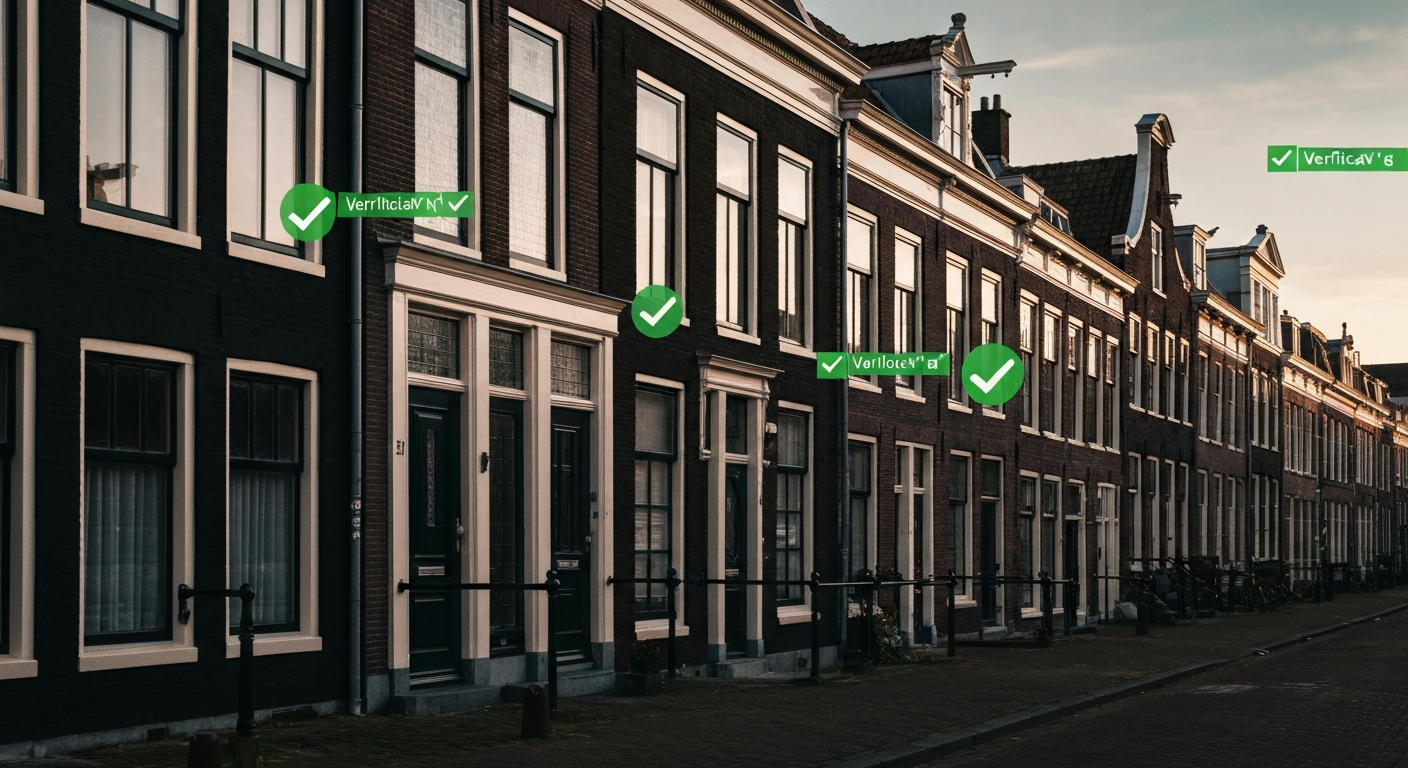
How geolocation solves this
GeoPin’s API can verify that exterior listing photos match the stated address. The approach is direct: given a photo of a building exterior and a stated address, does the photo match street-level reference imagery at those coordinates?
Here is how a property platform would integrate this into their listing workflow:
Step 1: Listing submission. An estate agent or landlord uploads photos and provides the property address. The platform geocodes the address to coordinates.
Step 2: Exterior photo verification. The platform sends each exterior photo to GeoPin’s API. GeoPin returns the most likely coordinates of where the photo was taken, along with a confidence score based on geometric feature matching.
Step 3: Distance comparison. The platform compares GeoPin’s predicted coordinates with the listing address. If the prediction falls within an acceptable radius — say 50 metres — the photo is verified. If the photo is placed in a different neighbourhood, the listing is flagged.
Step 4: Confidence thresholds. High-confidence matches can be automatically approved. Low-confidence matches are queued for human review. No-match results trigger a warning requesting correct photos.
This workflow adds seconds to the listing process, not minutes. The GeoPin API typically returns results in under 10 seconds per image. For a platform processing thousands of listings daily, this can run as a background verification step that completes before the listing goes live.
Beyond fraud: quality assurance
Photo verification is not just about catching scammers. It addresses several quality issues that legitimate platforms face:
Duplicate listing detection. When the same property appears on multiple platforms — listed by different agents claiming exclusivity — photo geolocation can identify that two listings share the same location. This helps platforms enforce exclusivity agreements and prevent buyer confusion.
Flagging historical photos. If a listing photo matches reference imagery from three years ago rather than recent street-level photos, that is a signal the listing photos may be outdated. Platforms can prompt agents to upload current imagery.
Neighbourhood context. Verified exterior photos can be automatically cross-referenced with municipal data. Is the listed property in a construction zone? Near a planned infrastructure project? Geolocation connects listing photos to geographic context that text descriptions may omit.
Portfolio verification for property managers. Large property management companies list hundreds of units. Automated verification ensures the right photos are linked to the right addresses — a surprisingly common error when portfolios are managed in bulk.
Technical integration
For platform developers, integrating with GeoPin is straightforward. The API accepts an image via multipart form data and returns coordinates with confidence scores. A typical verification flow in a listing backend looks like this:
- Accept listing submission with photos and address.
- Geocode the address to latitude and longitude.
- For each exterior photo, POST to
/api/geolocatewith the image. - Compare the returned coordinates with the listing coordinates.
- Calculate the distance between predicted and stated locations.
- Apply business rules: auto-approve if distance is small and confidence is high, flag for review otherwise.
The distance threshold depends on the platform’s tolerance. Urban listings might use a tighter radius than rural properties. Most platforms find 100 metres works well as a reasonable upper bound for legitimate angle variation.
What this looks like in practice
Consider a listing for a flat on the Keizersgracht in Amsterdam. The agent uploads five photos: three interiors and two exterior shots of the facade and canal view. The platform sends the two exterior photos to GeoPin.
GeoPin matches the facade photo to reference imagery at coordinates that place it on the Keizersgracht between the Leidsegracht and Leidsestraat. The canal view photo matches a position consistent with looking south from that block. Both results fall within 30 metres of the listed address. Confidence scores are high — over 50 matched geometric features per photo. The listing is automatically verified.
Now consider a fraudulent listing. A scammer copies exterior photos from a legitimate listing in Amsterdam-Zuid and creates a new ad claiming the property is in De Pijp. The platform sends the exterior photos to GeoPin, which returns coordinates in Amsterdam-Zuid — more than a kilometre from the stated address in De Pijp. The listing is flagged before it goes live.
The business case
For platforms, the cost of unchecked listings is measured in user trust. Every fraud victim becomes a vocal critic. Every outdated photo wastes a potential buyer’s time.
Automated photo verification catches the low-hanging fruit that manual review cannot address at scale. When you are processing thousands of listings daily, even a basic automated check significantly reduces the fraud surface.
The Dutch property market deserves better than “trust the photos.” Geolocation verification makes that possible.