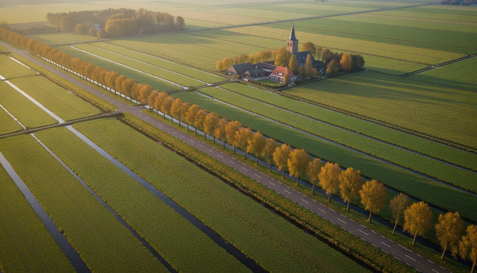
A photo taken in a city is a gift for anyone trying to find its location. Facades, street signs, shop fronts and tram rails: there is plenty to hold on to. But what do you do with a picture of a meadow, a ditch and a row of pollard willows? At first glance every Dutch polder looks like the next one, and most people give up quickly.
Still, a photo from the countryside is less anonymous than it seems. The Netherlands is one of the most heavily engineered landscapes in the world, and every layout leaves traces. In this article we show what to look for, what stays hard and how AI helps when you get stuck.
Why the countryside is harder than the city
In a city, one photo gives you dozens of fixed points. In the countryside they are scarce. You often see a wide horizon, lots of grass or farmland and hardly any text. On top of that, the landscape changes with the seasons: a bare field in March is a maize field in July. If you rely on a sign or a building, a cycle path through the fields leaves you out of luck.
It is harder for AI too. A model trained mainly on street imagery sees more distinctive patterns in a city than in an open polder. That does not mean it fails, but the result is more often an area than an exact street. Be honest about that, also when you share or use the result later in a report.
The landscape itself gives away the region
The first step is to determine the region, and the Dutch landscape is surprisingly helpful here. Peat areas in the Green Heart have long, narrow parcels with wide ditches between them. Sea clay in Groningen and Friesland has large, open fields and mounds (terpen) with a small church on top. On the sandy soils of Drenthe and the Achterhoek you see smaller fields surrounded by wooded banks and oak trees. Along the big rivers you recognise floodplains, groynes and tall dikes.
Also pay attention to what grows and what happens in the fields. Bulb fields point to the Bollenstreek or North Holland, orchards to the Betuwe, glass and greenhouses to the Westland. Sheep on a dike belong to the coast or the rivers, while a dairy farm with lots of cows in the meadow can be found in almost every province. A clue like that does not decide the place, but it can rule out half the country. See also our article on visual clues in AI geolocation for more signals like this.
Small details that make the difference
Once you have the region, you look for details that are unique. Think of the type of bridge over the ditch, the shape of a farm (a head-neck-body farm in Friesland, a long-front farm in Drenthe, a Saxon farmhouse in Twente), the colour of the posts along the road and the type of paving. Pylons, wind turbines and pumping stations are good anchors too, because you can find them on maps and aerial photos.
The simplest detail is often the horizon. A church tower or a silo in the distance is a fixed point. If you see two, you can use the angle between them to estimate your position, roughly the way a surveyor does. That sounds laborious, but with a map next to you it goes faster than you would think, and it often yields a search area of a few kilometres.
Season, light and weather
A countryside photo also tells you when it was taken. A mown meadow, flowering rapeseed or a snowy field says something about the period, and the position of the sun combined with shadows gives the viewing direction. That is useful for testing a story: a photo supposedly taken “last week” that shows green trees when it is already November does not add up. How strongly the season affects recognition is covered in our piece on seasonal change and geolocation.
Tools and methods you can combine
Never rely on a single source. Start with the metadata, as we describe in our guide on placing a photo without GPS. Then look up the candidate region on a map and check aerial photos, for example the open aerial imagery from PDOK, to compare the parcel layout. A ditch pattern rarely changes, which is exactly what makes an aerial photo so suitable for confirming a place.
If you want to try it in one go, AI geolocation can give you a starting point. GeoPin compares your photo with a nationwide index of street imagery and returns the most likely locations. For country lanes and dikes that often works well, because street imagery exists there. For a photo in the middle of a meadow with no road in view you will get a region rather than a point. Treat the result as a hypothesis that you confirm with a map and aerial photo.
Practical examples
Say you receive a photo of a holiday cottage by a lake, offered as a vacation rental. The water, the reed edges and the pines point to a sandy area with lakes, such as Brabant or Overijssel, while the listing claims a location on the coast. That is a reason to ask more questions. Another example is a damage photo of a barn after a storm: the type of barn and its surroundings tell you whether the photo fits the stated address.
Drone footage plays a role here as well. From above you see parcel patterns, roads and ditches much better, and that is exactly what you need. How that works is explained in our article on drone photography and AI geolocation.
Try it yourself
Do you have a photo of a polder, dike or country lane and want to know where it was taken? Upload it to GeoPin and see within seconds the most likely locations in the Netherlands, including a map view to check the result.