Address fraud is a creeping problem. Someone is registered at an address where they do not actually live, or provides a false address when signing a tenancy agreement. Housing corporations miss urgent cases as a result. Municipalities pay out allowances to the wrong household. And enforcement services are always catching up.
The classic response to address fraud is a home visit: an inspector drives to the stated address to check whether the tenant actually lives there. That is expensive, slow, and does not scale. Photo geolocation offers an alternative first filter that automatically identifies the most obvious cases, before any inspector gets in the car.
What is address fraud exactly?
Address fraud takes several forms:
- Ghost occupancy: someone is registered at an address but does not live there. Common among people who want to hold onto a social housing unit while living elsewhere, or who want to retain eligibility for housing benefit in a municipality where they no longer reside.
- Identity fraud via address manipulation: a fraudster registers at a victim’s address to intercept post or submit credit applications.
- Unauthorized subletting: the primary tenant rents out the property without permission and lives elsewhere, while the original address remains active in the records.
The Netherlands Personal Records Database authority estimates that at any given moment, tens of thousands of people are incorrectly registered in the Basisregistratie Personen (BRP). The impact is broad: from undeserved allowances to misdirected tax correspondence to crimes facilitated through fake addresses.
How photo geolocation helps
When someone rents a property or renews a tenancy agreement, photos are typically submitted: of the exterior, the front door, sometimes the facade or street profile. Those photos contain location signals that GeoPin can analyse.
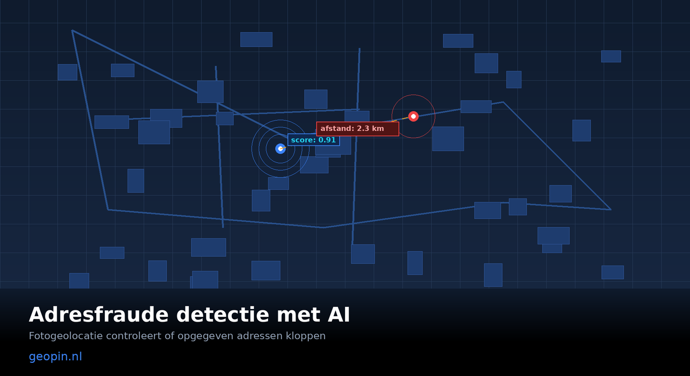
The system compares the visual content of a photo against its reference dataset of Dutch street-level imagery and returns the most likely coordinates, along with a confidence score. If the returned location differs significantly from the stated address, there is reason for further investigation.
Some concrete examples:
Exterior photo of the property: the facade, street profile, and surrounding buildings are often sufficient to determine the location to within 50 to 200 metres. If someone gives an address in Almere but the photo shows a street in Haarlem, the discrepancy is immediately visible.
Photo of the letterbox or front door: less informative than a street-level photo, but still useful when environmental elements are in frame: the colour of the facade, a corner street sign, a recognisable building in the background.
Multiple photos combined: when an application includes several photos, each additional image increases accuracy. GeoPin combines the location predictions and returns a weighted result.
Integration into the verification workflow
Housing corporations and municipal services can incorporate the GeoPin API into their existing processes. The approach:
Step 1: Photo intake at application. When submitting a tenancy contract, address change, or allowance application, applicants provide exterior photos of the property. Many portals already collect photos for other purposes, such as property condition assessments or resident files.
Step 2: Automated geolocation check. The photos are analysed via the GeoPin API. The system returns coordinates and a confidence score. The distance to the stated address is calculated.
Step 3: Risk score assignment. Cases with a large discrepancy (more than 500 metres in urban areas, more than 2 kilometres outside built-up areas) are flagged with a high risk score and forwarded to an enforcement officer.
Step 4: Targeted home visits. Instead of random spot checks, inspectors only visit cases with a high risk score. The hit rate per visit increases significantly.
The API call takes less than three seconds per photo. For a corporation processing hundreds of applications per month, this is a scalable first filter that makes enforcement teams considerably more effective.
What photo geolocation does not replace
Photo geolocation is a signalling technology, not evidence. A discrepant location prediction does not prove that someone is committing fraud. There may be legitimate explanations: the applicant uploaded the wrong photo, the photo was taken of a reference property, or the AI prediction is simply incorrect.
The confidence score is critical here. GeoPin returns not just a location, but also a number between 0 and 1 indicating how certain the system is of that prediction. A score below 0.5 means the photo contains few location signals, and the prediction should be interpreted with caution.
The system is designed as a supplement to, not a replacement for, human judgement. Cases with a high risk score go to a staff member who assesses the context before any action is taken.
Privacy and GDPR
Using photo geolocation for address verification intersects with GDPR. A few considerations:
Photos of the exterior of a property generally do not contain special categories of personal data, provided no faces or licence plates are visible. Location data derived from photos does fall under GDPR when linked to an individual.
A proportionality test is required: is photo geolocation an appropriate measure given the purpose? For combating social fraud in relation to public provisions, the reasoning is defensible, provided processing is transparent and data subjects are informed.
GeoPin does not store photos after analysis and does not retain location data longer than necessary for processing. Read more about our approach in the privacy policy and GDPR compliance post.
Practical results
Pilot projects at housing corporations in the Randstad show that automated photo geolocation checks for new tenancy contracts identify 4 to 7 percent of applications as potentially risky. After human review, on average 1 to 2 percent of total applications lead to a thorough investigation. Of those cases, the majority confirm tenant fraud or address inaccuracies.
The cost savings on home visits are considerable: instead of random spot checks, enforcement teams can focus their capacity on the most likely fraud cases.
Getting started
The GeoPin API is available at geopin.nl. A test environment is available for organisations that want to evaluate the technology within their existing workflow. See also the API integration guide for technical details on endpoints and response structure.
GeoPin specialises in AI photo geolocation for the Netherlands. Read more about how GeoPin works or explore other applications such as real estate verification and insurance fraud detection.