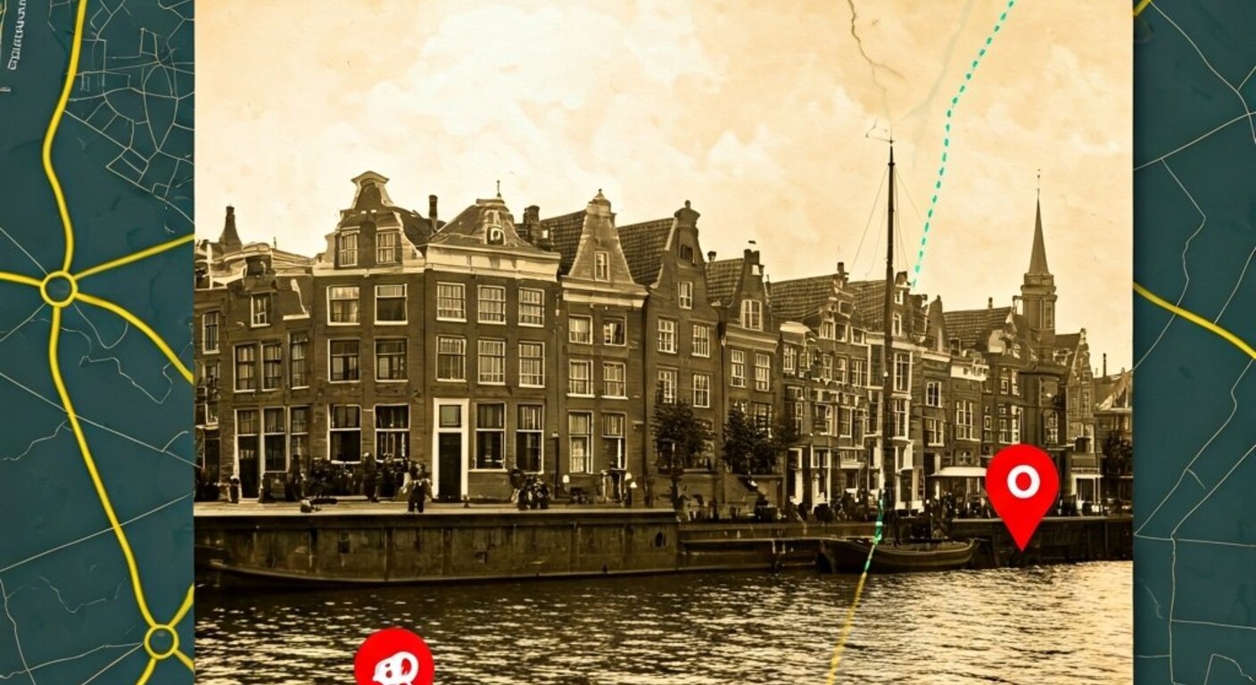
The Netherlands is one of the most thoroughly photographed countries in the world. The Nationaal Archief, the Amsterdam City Archives, the Gelders Archief and dozens of other regional and municipal institutions collectively hold millions of historical photographs: street scenes from the 1930s, aerial images of postwar reconstruction neighbourhoods, portraits of factories and harbours long since demolished. Yet a large share of this material is barely discoverable by location, because precise geographic metadata is missing or incomplete.
AI photo geolocation offers a new approach to this problem.
The archive problem: images without coordinates
Most historical photographs carry only broad metadata: a city, a year, sometimes a street name added by the photographer or a cataloguer. But precise GPS coordinates, standardised addresses, or links to contemporary map data are almost entirely absent.
The practical consequences are significant. A researcher looking for all historical images of the Jordaan neighbourhood in Amsterdam retrieves photographs catalogued as “Amsterdam-centrum”, “Jordaan”, “Prinsengracht” and “Jordaan district”, but misses images filed simply as “Amsterdam” or under a street name whose spelling no longer matches the modern version. Searching geographically on a map is virtually impossible.
For digital heritage institutions, this is a persistent structural problem. The content has been digitised, but it is not truly searchable by location.
How AI photo geolocation can enrich archives
GeoPin analyses the visual characteristics of a photograph, architectural style, street profile, signage, vegetation, horizon, and matches these against a reference index of Dutch locations. The system returns the most likely coordinates alongside a confidence score.
For historical material, this is a different challenge than for contemporary photographs. A modern photo of an Amsterdam facade matches effortlessly against current Mapillary street-level imagery. A photograph from 1934 shows a facade that has since been renovated, a street that has been widened, or a building that has been demolished.
Even so, historical photographs contain more location signals than they might appear to at first glance.
Persistent structures. Canals, bridges, church towers and historic buildings change slowly. The Westerkerk is as recognisable in a photograph from 1920 as in one from 2020. The same is true of many medieval street patterns in Dutch town centres.
Infrastructure. Quay walls, locks, railway lines and embankments are visually distinctive and geographically stable. A harbour photograph from the 1950s shows infrastructure that can often precisely identify a location in Rotterdam, Amsterdam or Dordrecht.
Street furniture and signage. Historical street name signs, text on building facades and specific lamp post designs sometimes carry direct location information that a trained model can recognise.
A practical scenario: the Gelders Archief
Consider a regional archive holding 40,000 untagged photographs from the period 1920 to 1970, donated by municipalities, photography studios and private individuals. The collection has been digitised in bulk but barely described.
A batch processing run via the GeoPin API produces a predicted location for each photograph. Results are segmented by confidence:
- Score above 0.80: automatically added as geolocation metadata, linked to a map coordinate.
- Score 0.60 to 0.80: presented to volunteer editors with local topographic expertise who can confirm or correct the prediction.
- Score below 0.60: flagged as “location unknown, suggestion: [municipality/region]” for manual cataloguing.
In this scenario, the archive does not need to manually review all 40,000 photographs. The AI does the preliminary work, volunteers validate the uncertain cases, and a large proportion of the collection becomes geographically searchable automatically.
Linking to contemporary map data
Once historical photographs have coordinates, new possibilities open up.
Comparative maps. By linking historical and contemporary photographs of the same location, archives can offer interactive timeline views: what did the Binnenhof look like in 1930, in 1960, in 1990 and today?
Neighbourhood research. Researchers can draw a radius on a map and retrieve all available historical images from that location, regardless of the terminology the original cataloguer used.
Urban planning and heritage. Municipalities and architecture firms can visualise the development of a location over time as evidence for renovation decisions or heritage applications.
Education. Schools can show students historical photographs of their own street, linked to the current situation in their neighbourhood.
Limitations and honest expectations
AI photo geolocation is not a magic solution that will automatically and correctly place every historical image. A number of limitations deserve attention.
Demolition and reconstruction. Areas that were substantially rebuilt during or after the Second World War, such as parts of Rotterdam and Middelburg, show little visual continuity with historical material. The reference index is built on the Netherlands as it exists today, not on pre-war built environments.
Interiors and portrait photography. Photographs of people indoors or generic factory interiors contain few location signals. GeoPin is optimised for exterior and street photography.
Rural areas. Rural material without distinctive buildings or infrastructure produces lower confidence scores. A field in Groningen looks visually similar to a field in Zeeland.
Being transparent about confidence scores is essential. Archives deploying GeoPin should include the score in their metadata and distinguish between automatically confirmed and human-validated locations.
The next step for heritage institutions
Digital heritage institutions working on enriching their collections can start with a pilot project using a selected subset of untagged images. A batch of 500 to 1,000 photographs is large enough to measure the effectiveness of the approach and test integration with existing cataloguing systems.
GeoPin provides a REST API that connects easily to digital collection management systems such as CollectiewijzeR, MuseumPlus or Adlib. The API returns standardised GeoJSON coordinates that can be imported directly into common metadata schemas.
Want to know more about how GeoPin works? Read the API documentation or learn how open geodata powers GeoPin.
GeoPin is an AI platform for photo geolocation, optimised for the Netherlands and surrounding regions. Contact us at info@geopin.nl to discuss a pilot with your archive collection.