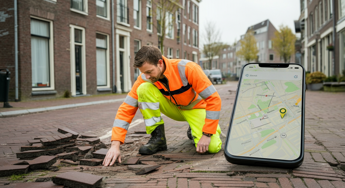
Dutch municipalities process hundreds of public space reports every day: broken paving stones, illegally dumped waste, a damaged streetlamp, or overhanging vegetation on the pavement. Most reports arrive through apps like Fixi or BuitenBeter, with citizens attaching a photo to illustrate the situation. The system works well, but it has a weak point: location data.
GPS coordinates that a smartphone submits come from the device sensor, not from the photo itself. If a citizen uploads a photo taken yesterday at a different location, or if GPS was inaccurate at the time, the report lands at the wrong spot. Field teams drive to the reported address and find nothing. That costs time and money.
AI photo geolocation closes this gap.
The problem with GPS-only reports
The error margin of smartphone GPS varies considerably. In densely built-up areas with tall buildings, such as Amsterdam’s canal belt or Rotterdam’s city centre, the deviation can reach 30 to 50 metres. This means a report about a broken paving stone can end up three addresses away.
More serious are cases where a photo is uploaded after the fact. A citizen photographs a dangerous road sign, forgets to report it, and submits the photo three days later via the municipal app. The GPS context is then lost, and the app uses the user’s current location instead of the location in the photo.
Municipalities estimate that 5 to 15 percent of submitted reports contain location errors. In a medium-sized municipality processing 80 reports per day, that means eight to twelve unnecessary field trips.
How photo geolocation helps
GeoPin analyses the photo itself: facades, paving patterns, signage, streetlamps, trees, and other visual elements characteristic of a specific location in the Netherlands. This produces an independent location estimate that can be compared against the GPS coordinates of the report.
The verification process works as follows:
Step 1: Report received. The citizen uploads a photo via the municipal app. The system records the device GPS coordinates.
Step 2: Photo geolocation analysis. The GeoPin API analyses the photo and returns a predicted location with a confidence score. This takes an average of three to eight seconds.
Step 3: Comparison. The system compares the GPS coordinates with the photo geolocation result. If the deviation is under 50 metres, the report is forwarded to the field team. If the photo geolocation deviates by more than 100 metres, the report is flagged for review by a staff member.
Step 4: Corrected location. If the photo geolocation has a higher confidence score than the GPS reading, the system can automatically correct the location. The field team receives the right spot on the map.
Benefits for municipal field services
The practical gain lies first and foremost in time savings for field teams. A wasted trip costs a municipality an average of 45 minutes in travel time. With eight unnecessary trips per day, that adds up to thousands of lost working hours per year.
But there is a second benefit that is less immediately visible: reports are less quickly dismissed as fake or malicious. Some staff members are sceptical about reports that do not match the map layer and archive them without action. With automatic location verification, they no longer need to make that judgement call: the system flags a discrepancy and provides context about the probable actual location.
Integration with existing systems
The GeoPin API is built as a REST endpoint that connects straightforwardly to existing case management systems such as Suite4PubliekDiensten, Rx.Mission or OpenZaak. Municipalities using BuitenBeter or Fixi can add a middleware layer that routes each incoming photo to the GeoPin API before the report reaches the case management system.
The integration requires no changes to the front-end apps that citizens use. It is an enrichment step at the back end, invisible to the person reporting and transparent to the field team.
More detail on how the API works is available in the API integration guide. Background on the underlying AI is described in how GeoPin works.
Privacy and GDPR
Photos of public spaces sometimes contain faces or licence plates of passers-by. GeoPin processes the image solely for location determination and does not store any personal data. The processing logic is GDPR-compliant and the API call is configurable with automatic deletion of the image after processing.
For municipalities sensitive to procurement rules: GeoPin processes data on Dutch infrastructure. There is no data transfer to data centres outside the EEA.
A step further: proactive enforcement
A follow-on application is proactive enforcement based on historical report patterns. If a particular street or neighbourhood consistently shows more location discrepancies, this may indicate a problem with the base map or a zone with poor GPS reception.
Municipalities can use this information to dispatch field teams preventively for inspection rounds, rather than only reacting to individual reports. This fits the broader trend of data-driven management of public space.
Conclusion
Photo geolocation changes the nature of a public space report: from input with an inherent GPS error margin to a verified signal with a geographic confidence score. For municipalities processing dozens of reports daily, that is a concrete operational improvement achievable with a relatively modest technical intervention.
GeoPin provides photo geolocation specifically optimised for Dutch streets, neighbourhoods and municipalities. Read more about our AI geolocation technology or see how GeoPin performs in accuracy benchmarks.