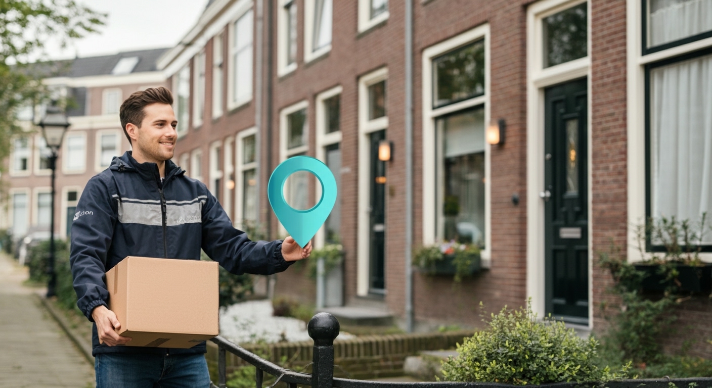
The delivery photo has become standard practice with almost every parcel carrier. PostNL, DHL, DPD and their competitors take a photo as proof that a parcel was delivered: at the front door, at a neighbour’s, in a parcel locker on the street. For senders it is proof that they have fulfilled their obligation. For recipients it is confirmation that the parcel has arrived. But was the photo actually taken at the right address?
That question sounds academic until something goes wrong. And it goes wrong more often than most people realise.
The problem with delivery photos as evidence
A photo as proof of delivery has a fundamental weakness: it shows what was photographed, but not where or when. A courier who delivers a parcel to the wrong address can still take a convincing photo of a front door. A consumer who fraudulently claims a parcel was not received, while it is sitting at home, cannot be stopped by a photo. And in rarer cases, a delivery photo can be reused or manipulated.
The consequences are not trivial. Dutch consumers placed nearly 350 million online orders in 2025. Even if only a small percentage results in a disputed delivery, that amounts to millions of claims per year that e-commerce platforms, insurers and carriers must handle.
How geolocation verification checks delivery photos
AI photo geolocation analyses the visual content of a photo, not the metadata. GPS tags in file metadata can be easily removed or altered. What cannot be easily removed: the facade, the paving stones, the signage, the surrounding architecture, and dozens of other visual signals that anchor the photo to a specific location.
GeoPin is specifically trained on Dutch street-level imagery. When a delivery photo shows a property, the system compares its visual characteristics against its index of Dutch addresses and returns the most likely location, including a confidence score.
The workflow for a delivery platform looks like this:
Step 1: Retrieve delivery photo. As soon as the courier uploads the photo, it is forwarded to the verification layer.
Step 2: Retrieve target coordinates. The delivery system already has the geocoded coordinates of the delivery address.
Step 3: Geolocation prediction. GeoPin analyses the photo and returns predicted coordinates and a confidence score.
Step 4: Distance check. The system compares predicted with expected coordinates. A deviation of more than 100 metres for an urban address triggers a warning.
Step 5: Escalation or approval. Deliveries that do not meet the threshold go to a human review point. Deliveries that pass are automatically confirmed.
The full analysis takes less than five seconds per photo.
Two forms of protection at once
Geolocation verification of delivery photos protects two parties simultaneously.
Protection for the consumer: If a courier claims to have delivered to your address, but the photo was taken at a neighbouring address or even a different street, consumers can demonstrate this objectively. Currently the situation is asymmetric: the consumer must prove they did not receive the parcel, while the courier has a photo as proof of delivery. Geolocation verification reduces that asymmetry.
Protection for the courier and the retailer: Not all “not received” claims are legitimate. Couriers sometimes deliver to a neighbour or collection point, after which the consumer picks up the parcel later but forgets to report it and still files a claim. A verified delivery photo confirming the correct location strengthens the position of the courier and retailer in the dispute.
API integration for logistics platforms
For logistics platforms and e-commerce retailers, integration via the GeoPin API is the most direct route. The API accepts an image file or URL and returns predicted coordinates with a confidence score.
A basic integration requires two things: geocoding the delivery address (which every delivery system already does for routing) and sending the delivery photo through the API at the moment of upload. The rest is threshold management: at what deviation do you want a warning, at what deviation do you want to block automatically?
For higher volumes, GeoPin also offers batch processing. A retailer who wants to check all delivery photos from disputed orders at the end of the day can submit them in bulk.
What this does not solve
Photo geolocation works best for exterior photos of homes and buildings. For photos taken inside a hallway parcel box, or photos taken in dark entrance halls with few visual characteristics, the confidence score is lower. In those cases, verification is less conclusive.
Parcel collection points are also trickier: a delivery to an Albert Heijn or PostNL pickup point looks geolocationally different from a home delivery. Systems need to apply a separate threshold for those cases.
But for the vast majority of regular home deliveries, with an exterior photo of the front door as evidence, photo geolocation is an effective and scalable verification mechanism.
The next step for delivery platforms
The delivery photo was already an improvement over a signature that nobody checked. Geolocation verification is the next step: a check that makes the photo prove not only that a delivery was made, but where.
For couriers who want to improve their process quality, for retailers who want to reduce dispute costs, and for consumers who want an objective mechanism when their parcel goes missing: the technology is available and operational.
GeoPin provides photo geolocation specifically optimised for the Netherlands. Read the API documentation or learn more about how GeoPin works.